
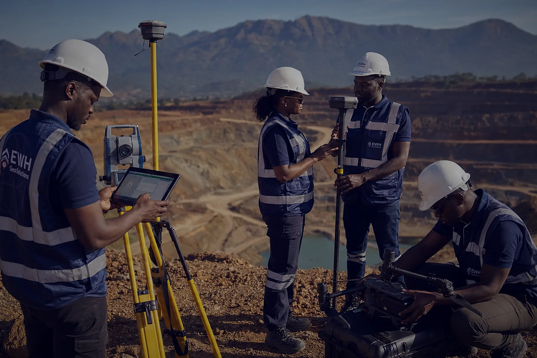
Survey & Mapping
- Cadastral and topographic surveys
- Control points, boundaries and stakeout
- ±1–2 cm with no base station to carry

Need centimeter accuracy for surveying, farming or drones, or want to earn GEOD rewards by hosting a base station? We supply, install and support it all.

See GEODNET base stations near your project, in Nigeria or anywhere in the world. Best accuracy is within about 20 km of a station. No station nearby? Send us your location and we'll check coverage or install one near your site.
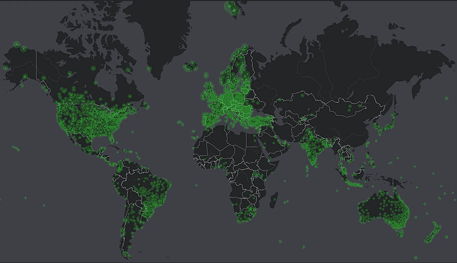
GEODNET is the world's largest decentralized RTK network: thousands of rooftop GNSS base stations in 174+ countries stream satellite data around the clock. GEODNET turns that data into real-time corrections, so any RTK-capable rover, drone, tractor or robot gets centimeter-level positions instead of the few meters standard GPS gives.
GPS, GLONASS, Galileo and BeiDou broadcast signals that alone give positions to a few meters.
Thousands of rooftop stations record those signals around the clock and stream them to GEODNET.
GEODNET turns the observations into real-time correction data.
Your rover, drone, tractor or robot applies the corrections for centimeter-level positions.
Source: geodnet.com
For surveyors, drone pilots, farmers and engineers who need accurate positions. Connect your rover, drone or machine to GEODNET and work to centimeter accuracy without setting up your own base every day. Pay a simple monthly or yearly subscription, or get a year included with GEO-MEASURE.
For businesses, schools, farms and property owners with a rooftop and stable internet. Install a GEODNET base station and earn GEOD token rewards based on the station's uptime and data quality. Every new station also improves RTK coverage for everyone in Nigeria.
Get a GEODNET base station from us.
Mount the antenna on a rooftop with a clear view of the sky, plus power and internet. We handle the installation.
We help you register and connect it to the GEODNET network.
Your station supplies corrections and earns GEOD token rewards.
Rewards depend on location, uptime, data quality and the token price, and are not guaranteed.
Centimeter-level corrections for your rover, drone or machine, with no base station of your own. NTRIP delivery to any RTK-capable device.
Subscription terms are being finalised. Ask us for current availability.
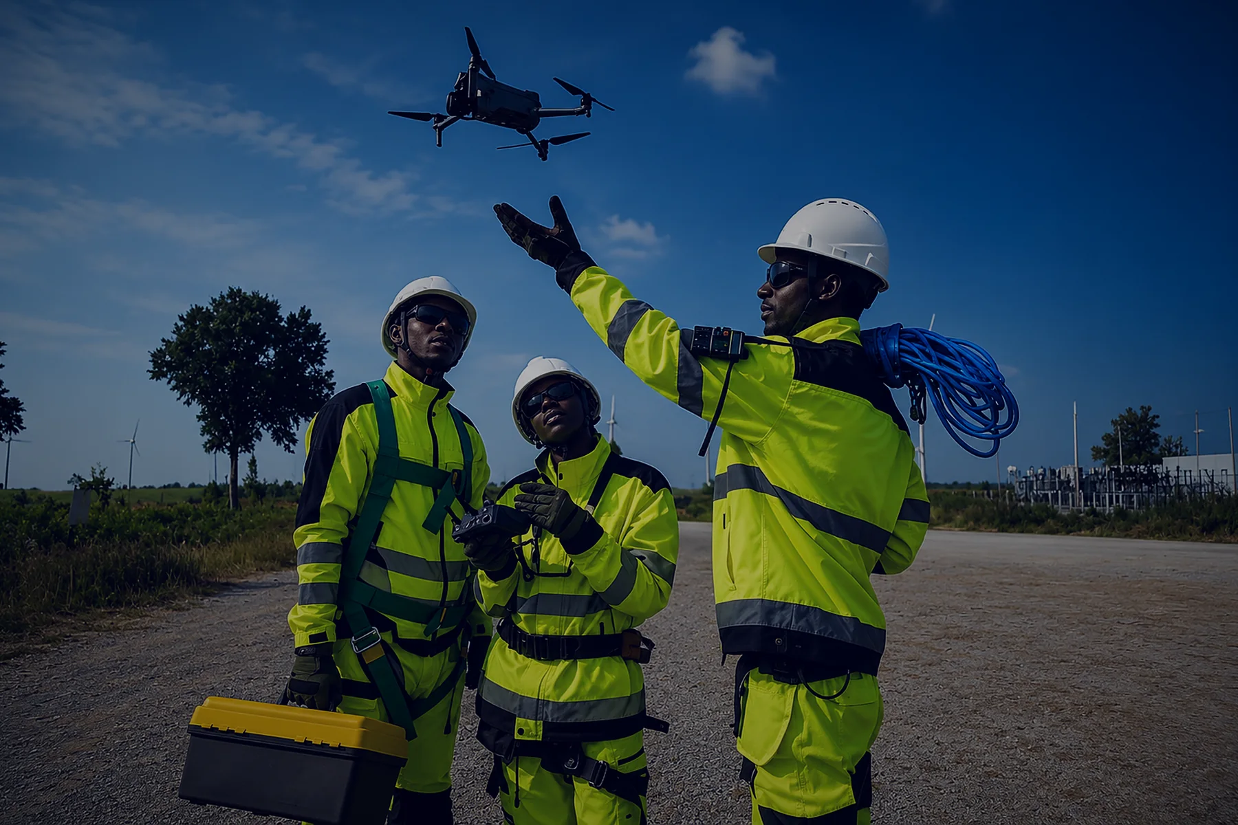
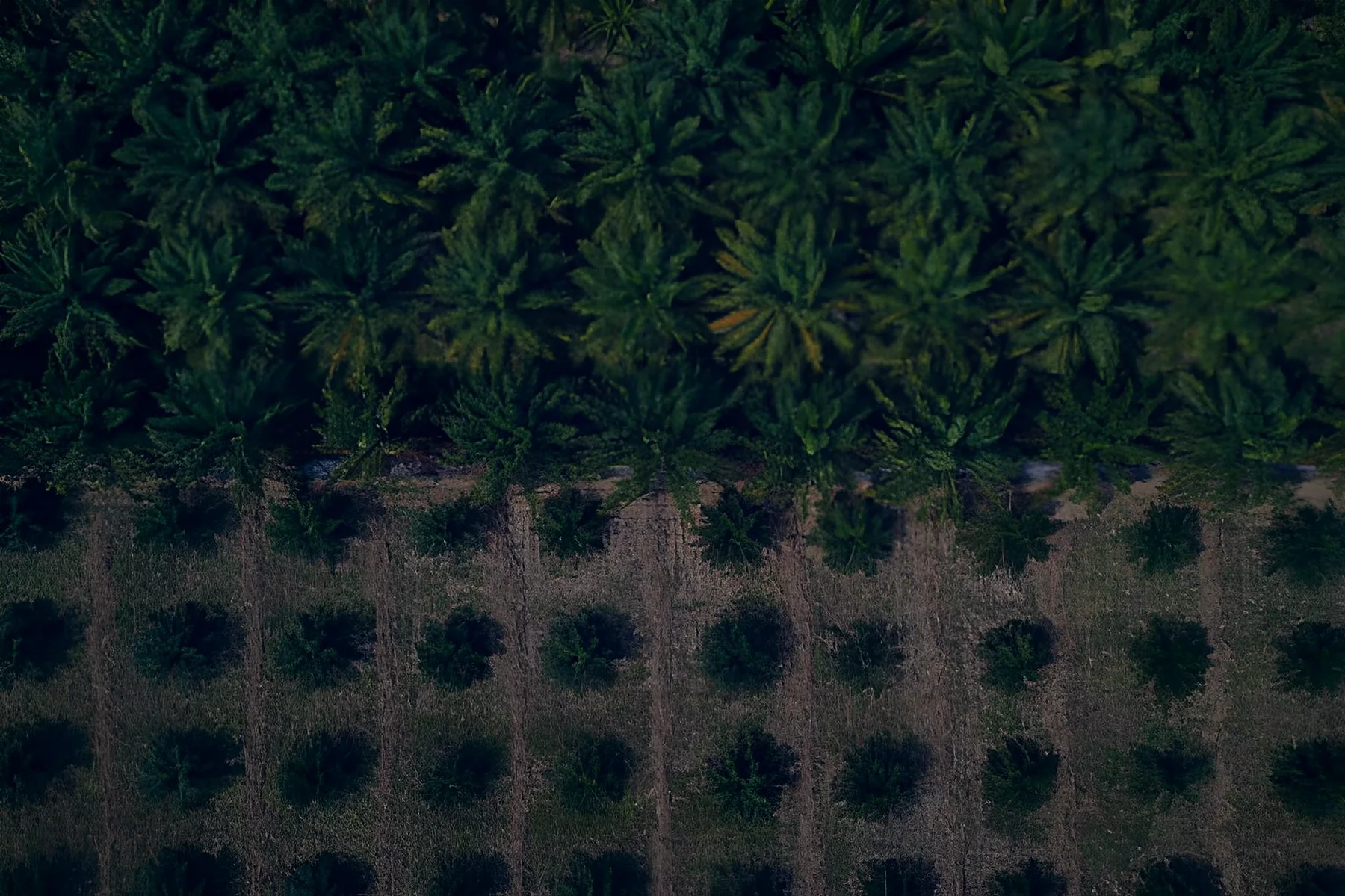

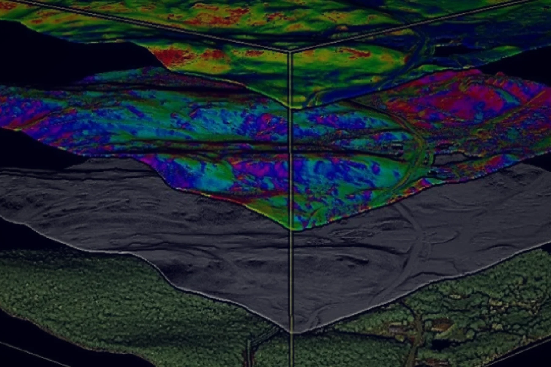
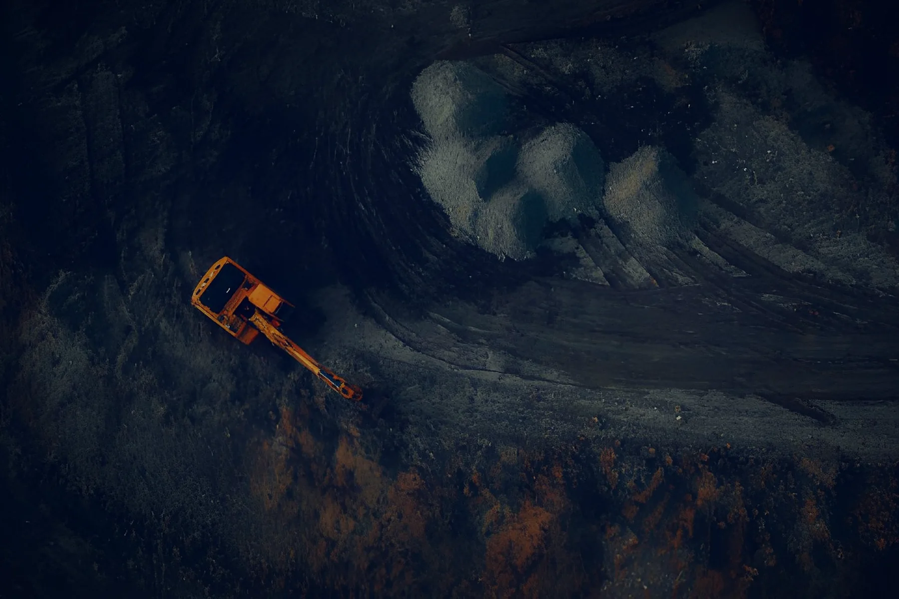
RTK (Real-Time Kinematic) corrects satellite positioning errors in real time. It improves accuracy from a few meters to about 1–2 centimeters, which surveying, machine guidance and drone mapping require.
Coverage in Nigeria is growing. Check the stations near you on GEODNET's live coverage map, or send us your location and we will check for you. If coverage is thin, we can install a base station near your project area.
View Coverage Map
A GEODNET base station gives the best accuracy within about 20 km, and usable RTK up to about 40 km. Accuracy drops gradually with distance. For large project sites, stations placed every 20–30 km give seamless coverage. Tell us your project area and we'll recommend a setup.
Within about 20 km of a GEODNET station, network RTK typically gives the same 1–2 cm horizontal accuracy as a local base, with vertical accuracy slightly lower, as with any RTK. The difference is that you don't need to set up, guard or move a base every day. As with any GNSS survey, check your results against known control points.
GEODNET gives positions in a global reference frame (ITRF, compatible with WGS84). These coordinates can be converted using the necessary transformation parameters.
No. With a GEODNET subscription your rover uses the network's stations. You only need your own station if you want to earn rewards or improve coverage where you work.
Yes, if your receiver or drone supports RTK over NTRIP. Most modern survey rovers, RTK drones and guidance systems do. Tell us your model and we will confirm.
Any RTK receiver or drone that supports NTRIP. If you're starting fresh, GEO-MEASURE is designed for GEODNET and comes with a year of RTK included.
A spot with a clear view of the sky (usually a rooftop), a power socket and a stable internet connection. Speak to us and we will guide you properly. We handle the installation.
Rewards depend on location, uptime, data quality and the token price.
Rewards are paid in GEOD tokens to a crypto wallet linked to your station. You control the wallet.
Rewards pause while the station is offline and resume when it reconnects. Stable power and internet are the keys to steady rewards. We can advise on backup power and placement.
GEODNET corrections are delivered over the internet, so both the base station and your rover need a connection. The station needs stable WiFi or cable internet. For the rover, a basic mobile data connection is usually enough, because correction data uses very little bandwidth. For sites with no signal at all, ask us about offline options.
Base stations, RTK receivers, accessories and correction subscriptions, delivered and supported across Nigeria.
Tell us about your project and we'll reply within one working day with pricing, delivery time and the right kit.
Not sure what you need? Tell us about your project and we'll recommend the right setup.