 LiDAR
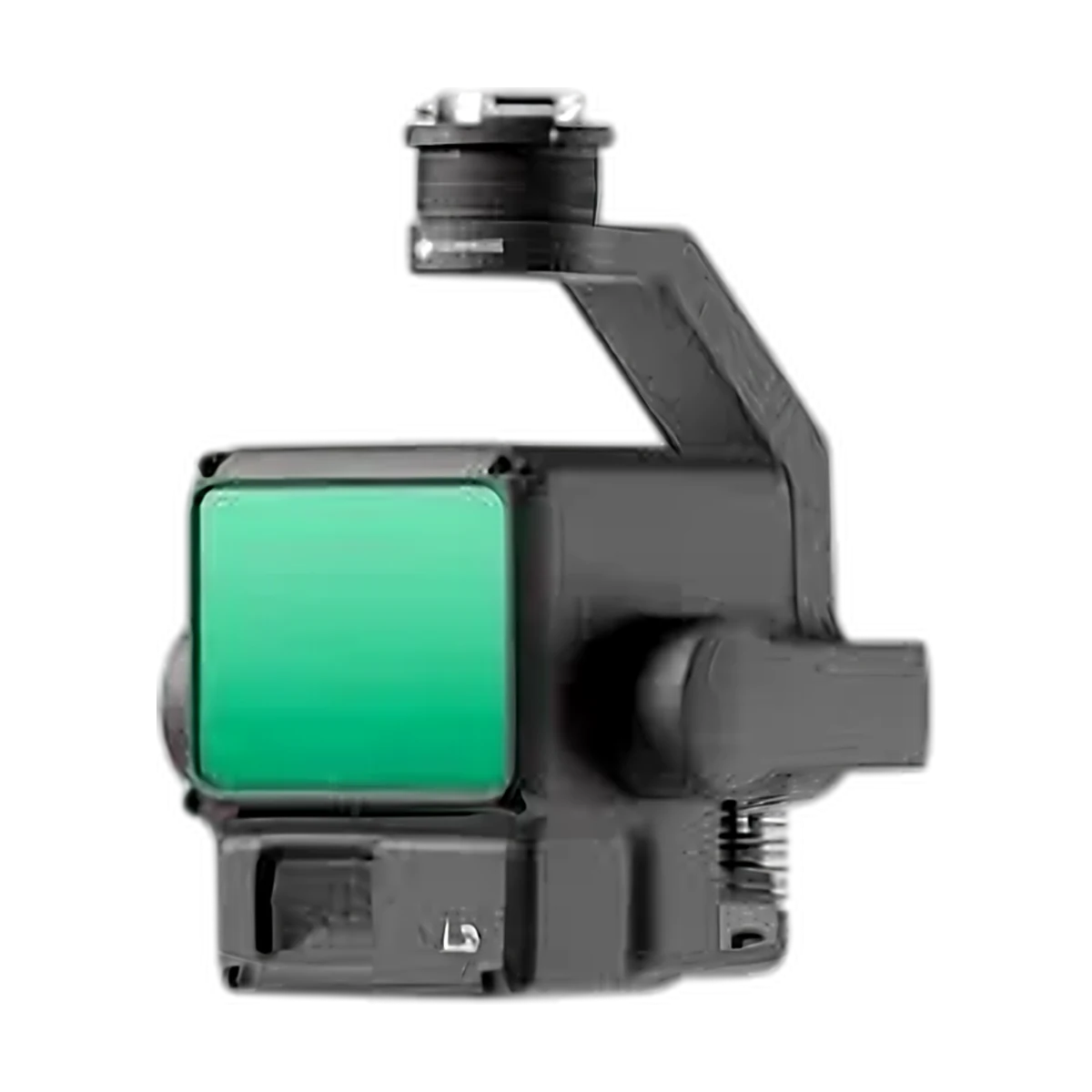
Zenmuse L2
Proven LiDAR for topographic, corridor and forestry surveys.
- Up to 1.2M points/s (multiple returns)
- 4 cm vertical / 5 cm horizontal at 150 m
- 20 MP 4/3 RGB camera
- 905 g, IP54
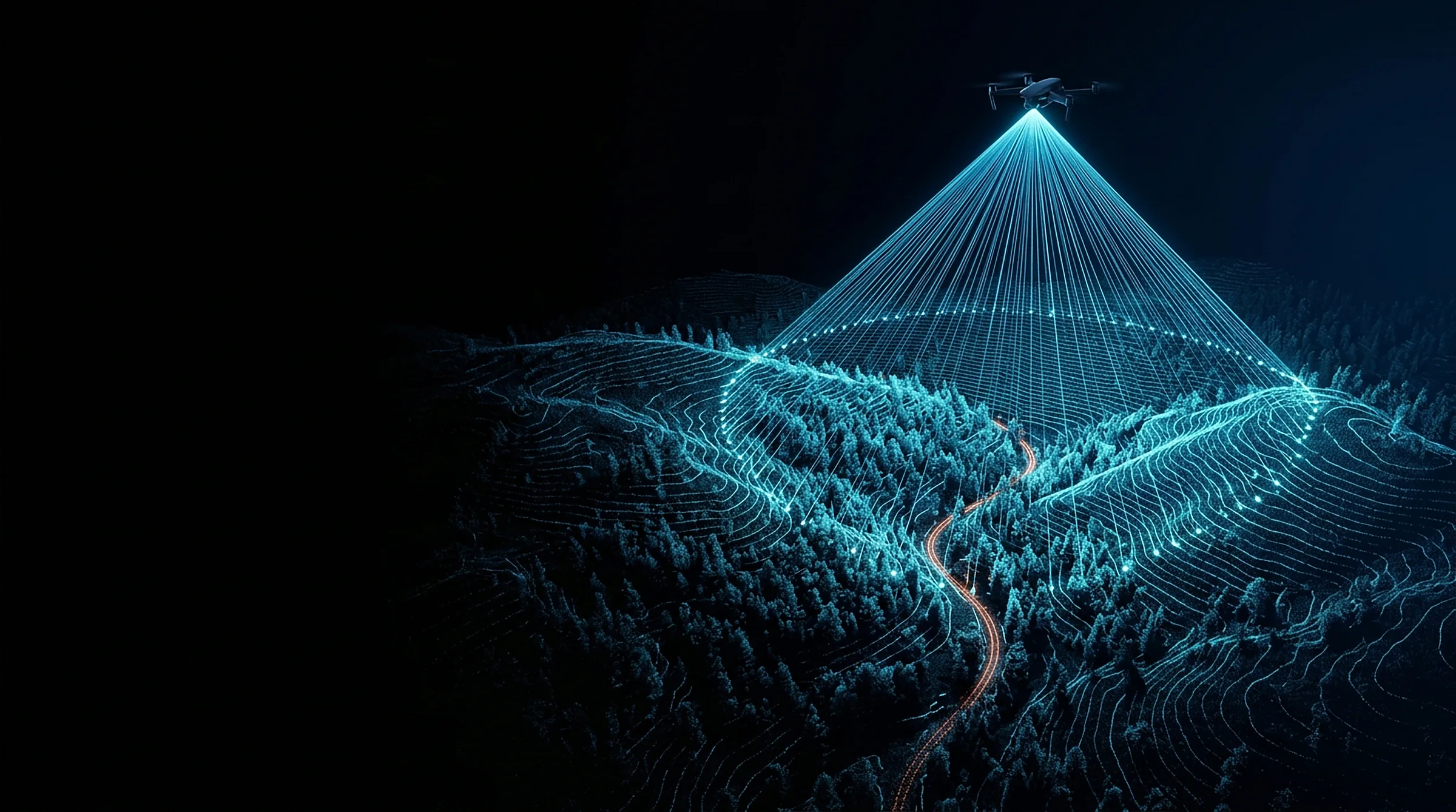
LiDAR, mapping cameras, zoom and thermal sensors, RTK stations and accessories for your DJI drones. Price on request. We help you choose the right setup and train your team to use it.
LiDARProven LiDAR for topographic, corridor and forestry surveys.
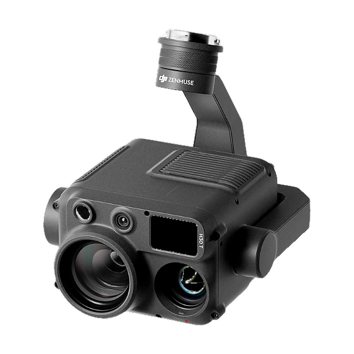 Zoom & thermal
All-in-one zoom, thermal and laser rangefinder for day and night missions.
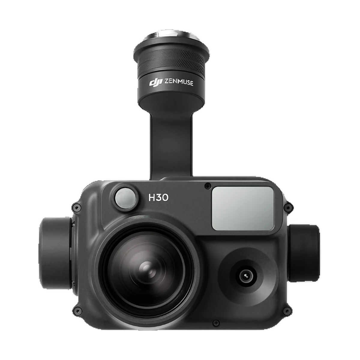 Zoom & thermal
Zoom and wide camera with laser rangefinder, without thermal.
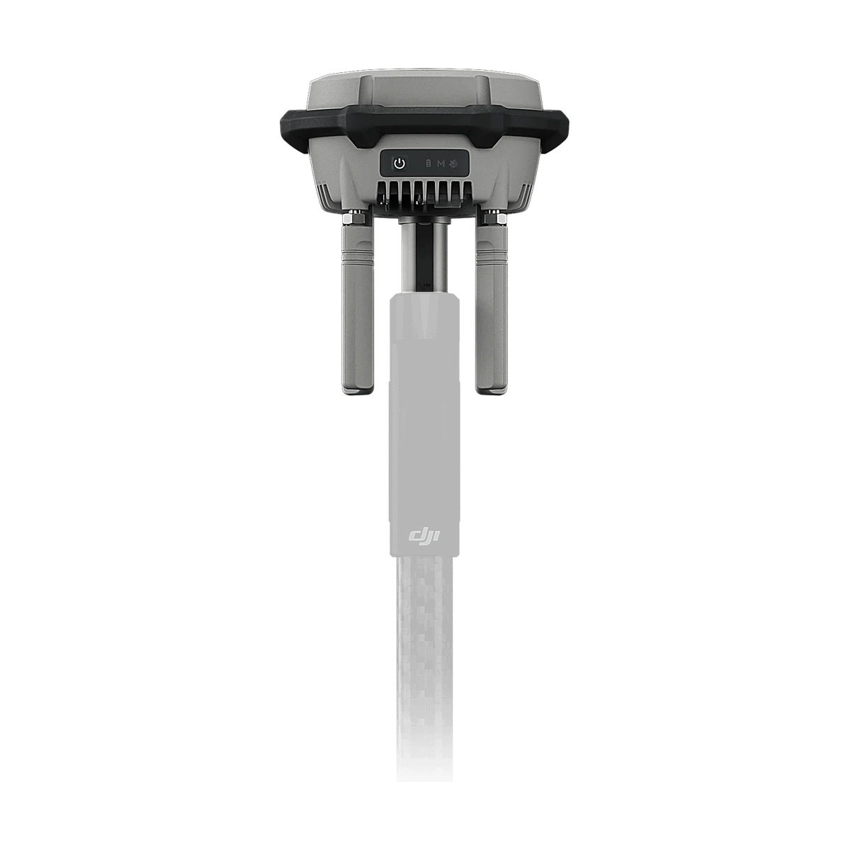 Positioning & links
RTK station for accurate Agras spraying routes.
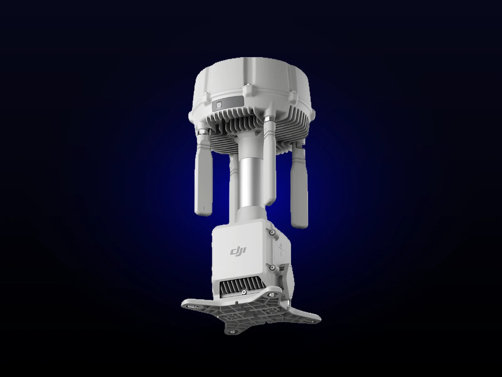 Positioning & links
Extends coverage across large sites and connects directly to FlightHub 2.
Proven LiDAR for topographic, corridor and forestry surveys.
All-in-one zoom, thermal and laser rangefinder for day and night missions.
Zoom and wide camera with laser rangefinder, without thermal.
RTK station for accurate Agras spraying routes.
Extends coverage across large sites and connects directly to FlightHub 2.
Not sure what you need? Tell us about your project and we'll reply within one working day with pricing, delivery time and the right kit.