

EWH GeoSolutions · Products
Survey and Mapping Equipment
Drones, payloads, laser scanners, GNSS, software and RTK services, delivered and supported across Nigeria.
Shop by category
8 products
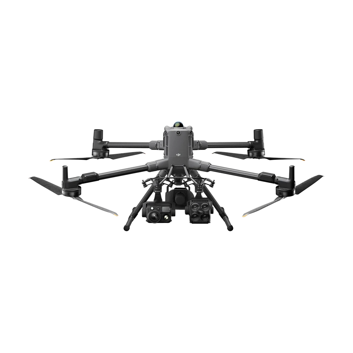
Drones
Enterprise and agriculture drones.
5 products
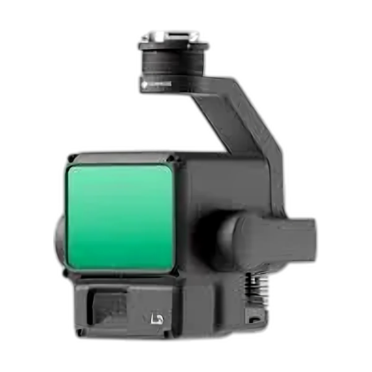
Payloads
LiDAR, mapping cameras, zoom and thermal sensors, RTK stations and accessories.
4 products
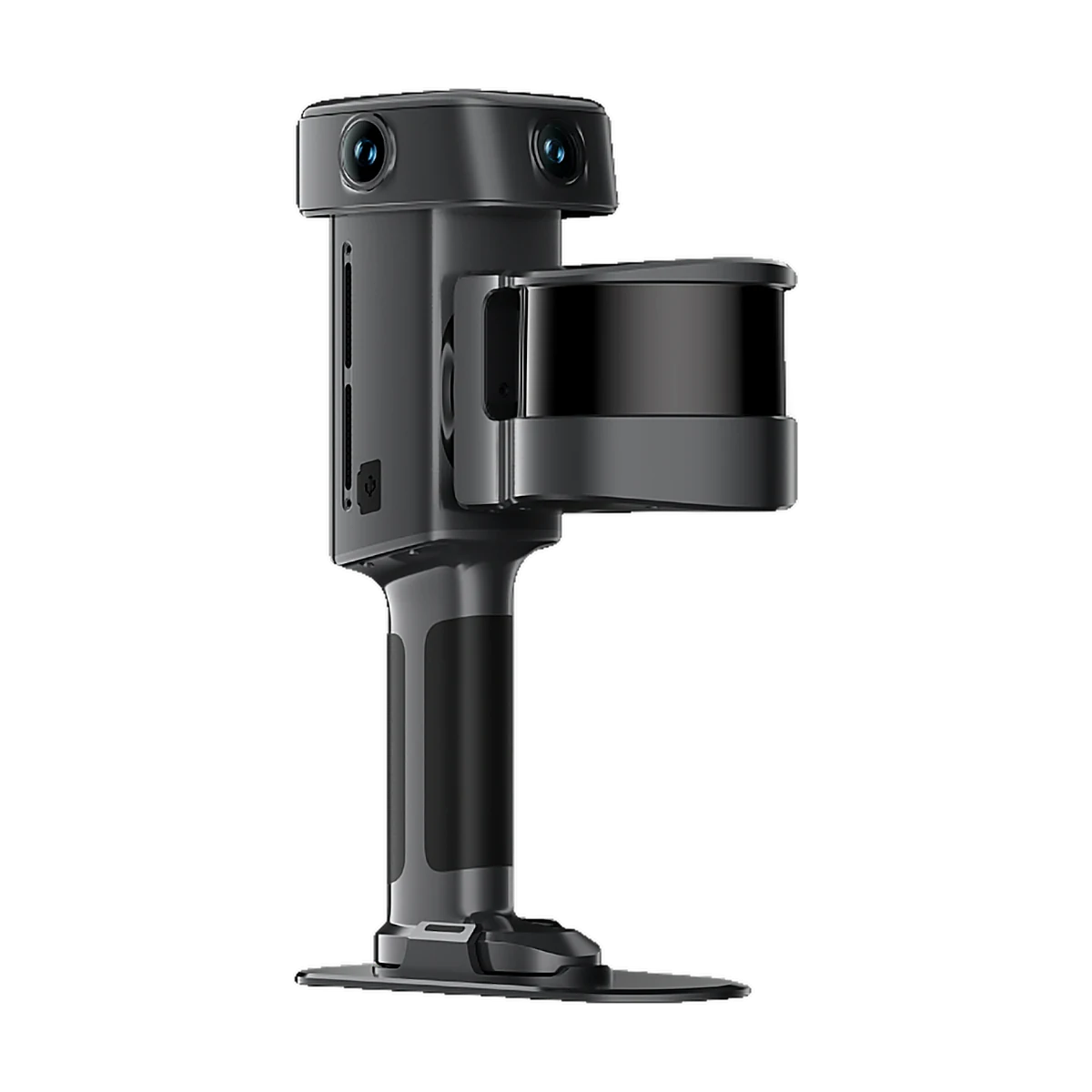
Laser Scanners
Handheld SLAM scanners for colourised 3D point clouds.
6 products
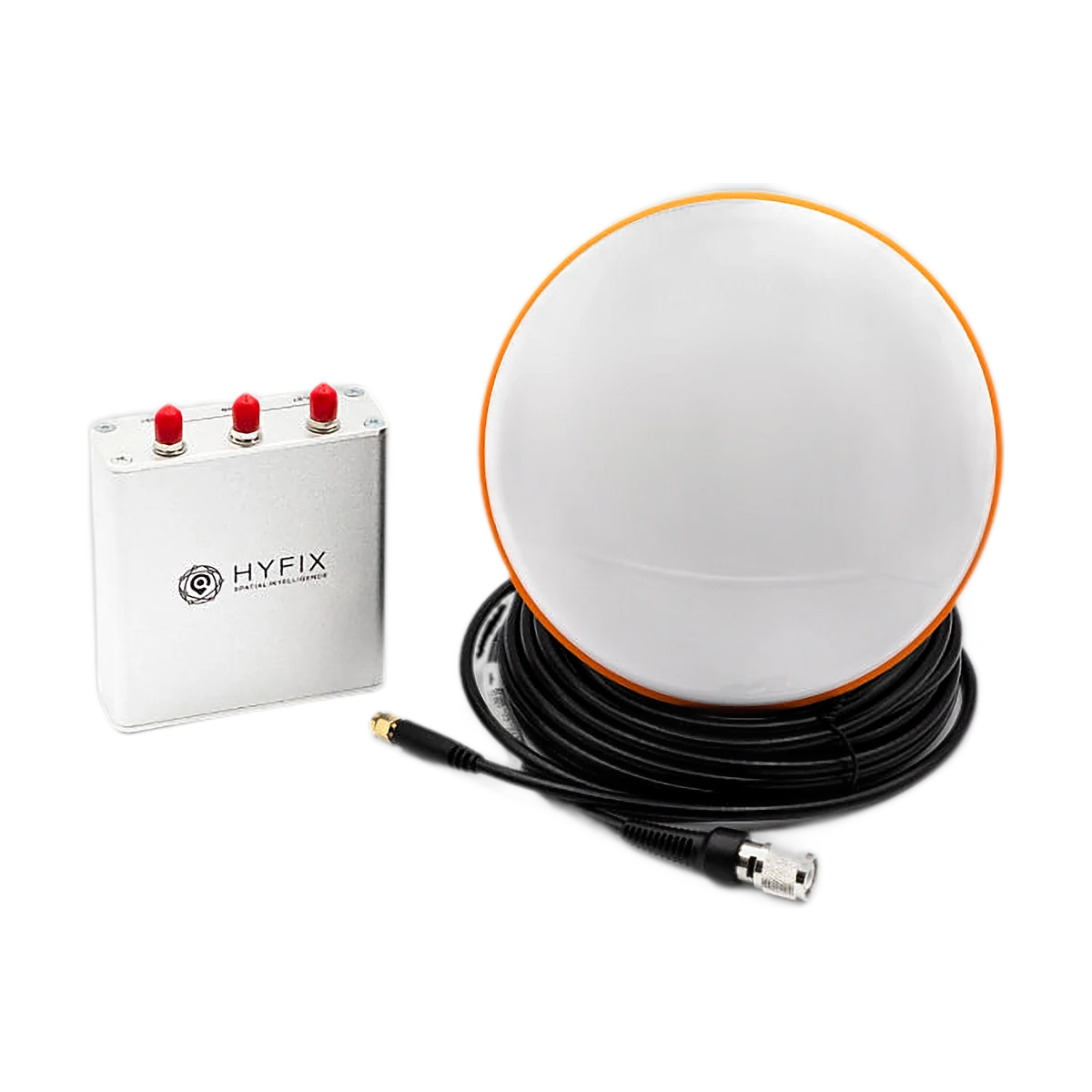
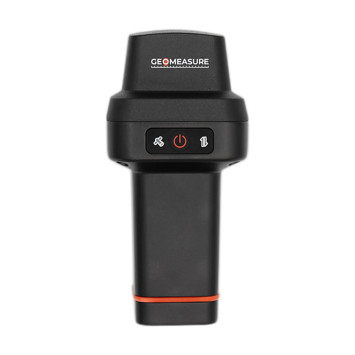
GNSS (GEODNET)
Base stations, RTK receivers, accessories and correction subscriptions.

3 products
Software
Photogrammetry, survey CAD and GIS, with training.
2 plans
RTK Services (GEODNET)
Centimeter-level positioning, anywhere in Nigeria.
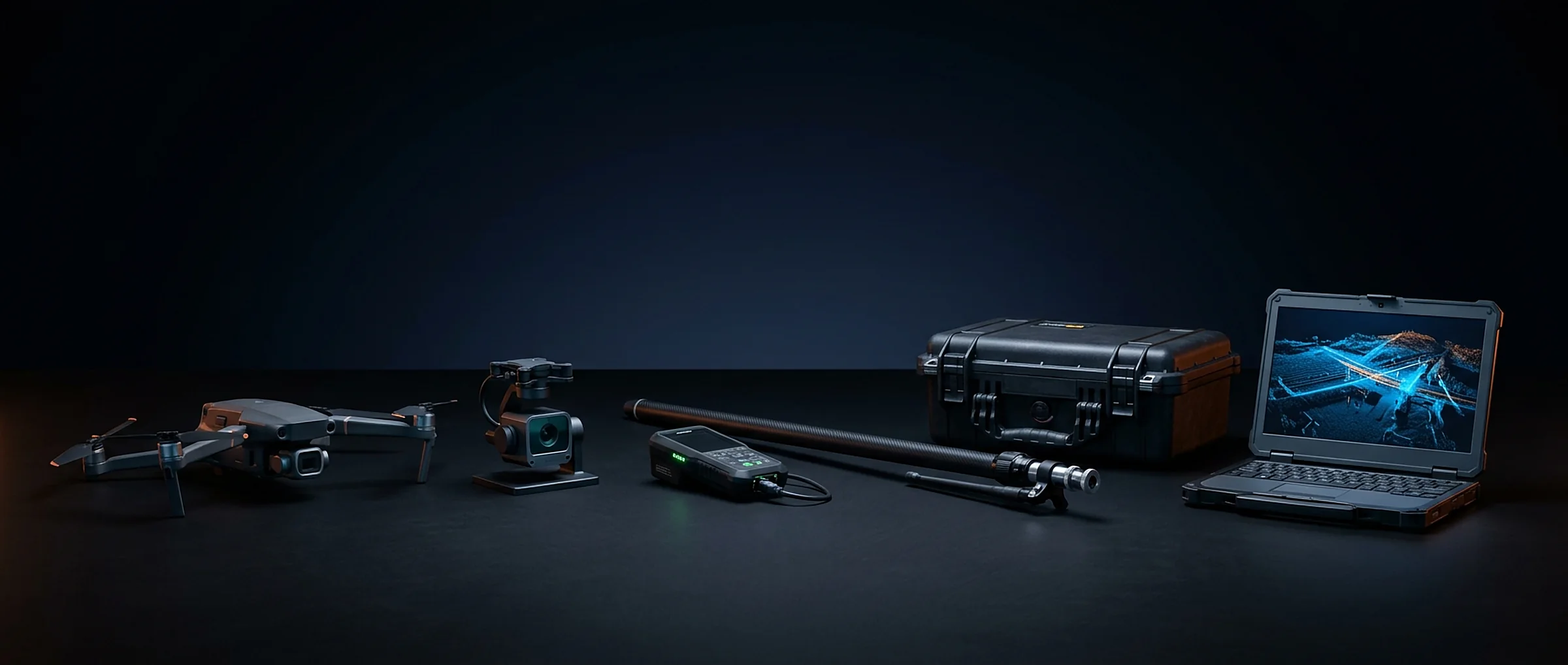
Complete Survey Kits
Drone + payload + GEODNET RTK + processing software, set up and ready to fly.
Not sure what you need? Tell us about your project and we'll recommend the right setup.