 Photogrammetry
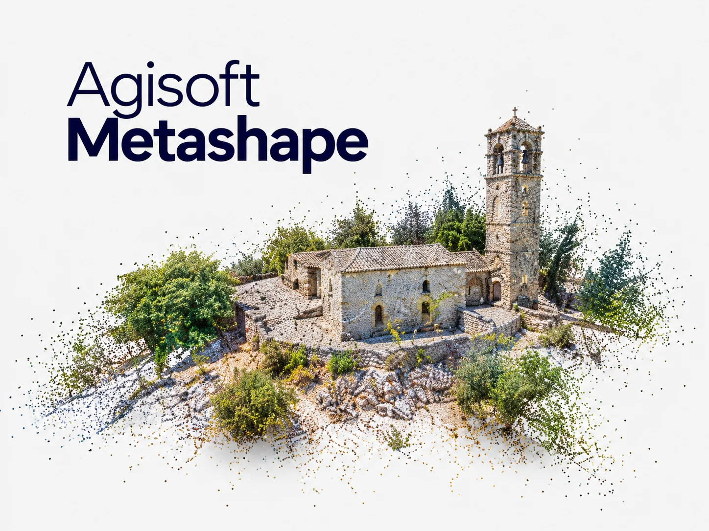
Agisoft Metashape
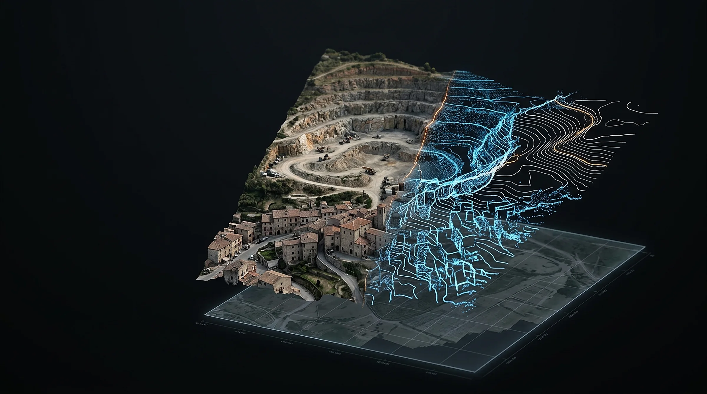
Turns drone and camera photos into accurate 3D spatial data.
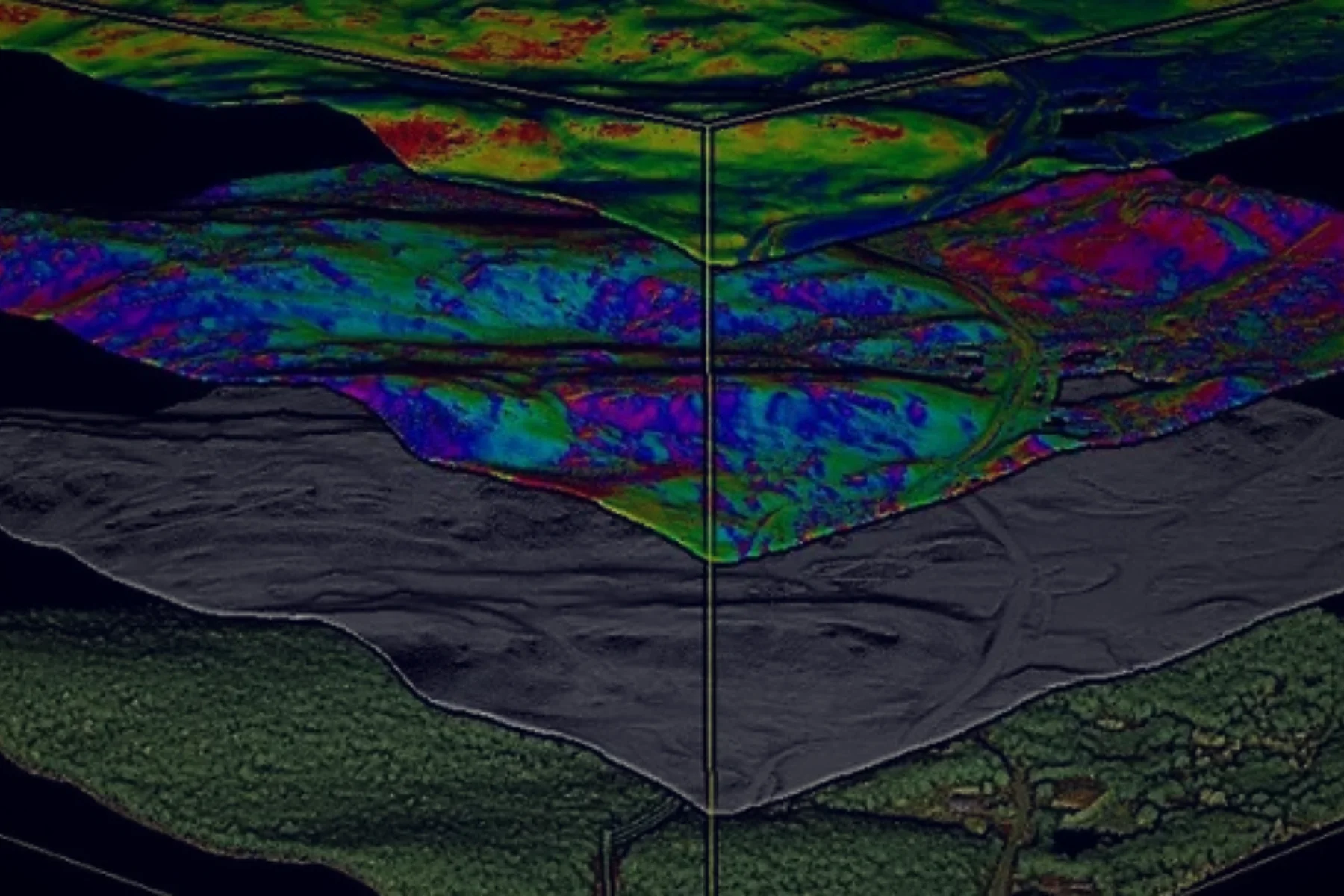
- Orthomosaics, DEMs, dense point clouds and 3D meshes
- Multispectral and thermal, with NDVI and custom indices
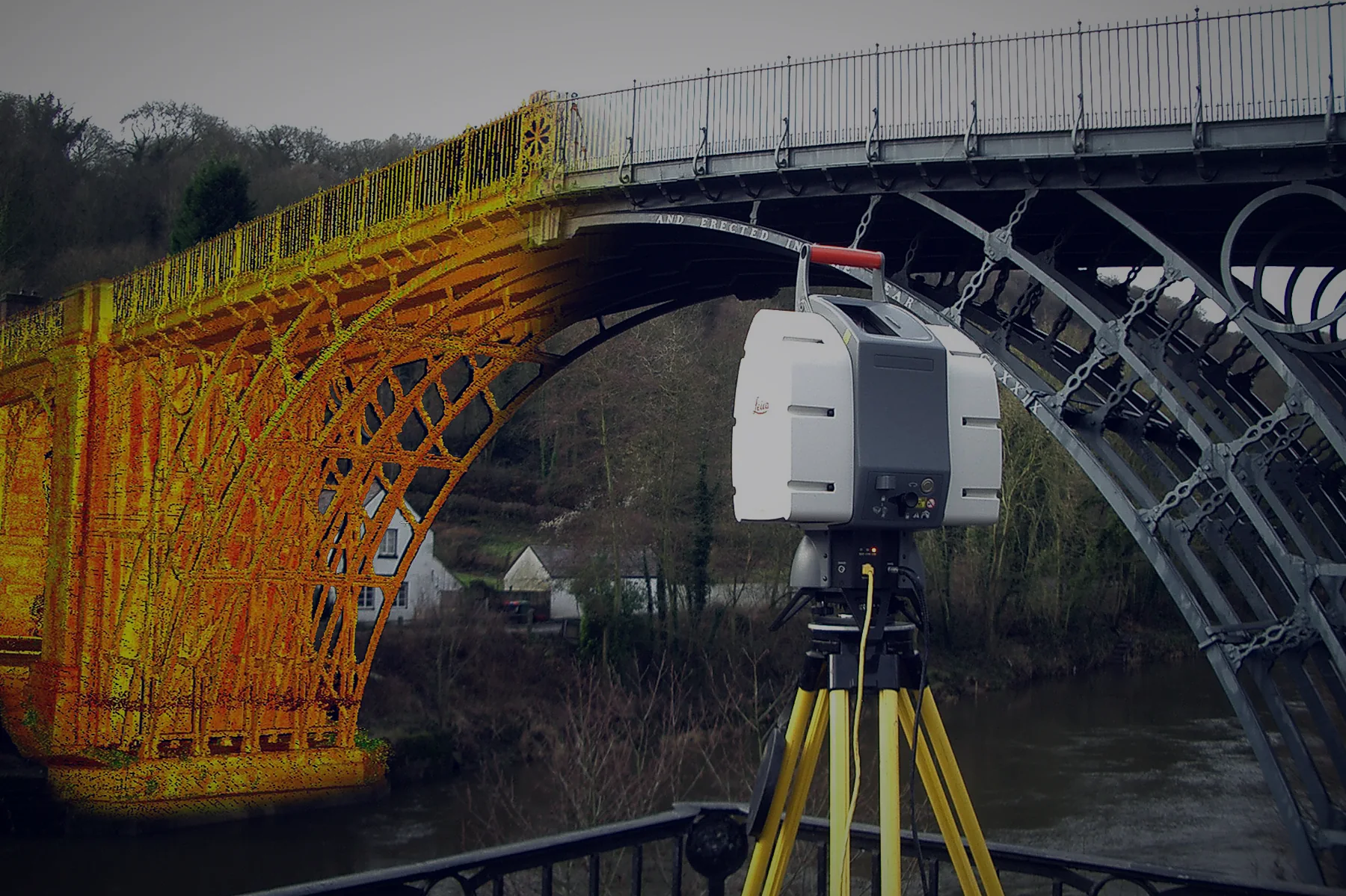
- LiDAR support and ground classification
- GCPs, coded targets and Python / Java API
Price on request