Orthomosaics
Orthomosaics
Georeferenced GeoTIFF for GIS, plus KML for Google Earth. Large projects export in blocks.
Turn drone and camera photos into accurate maps, elevation models and 3D models. Licences, setup, training and local support from EWH GeoSolutions.
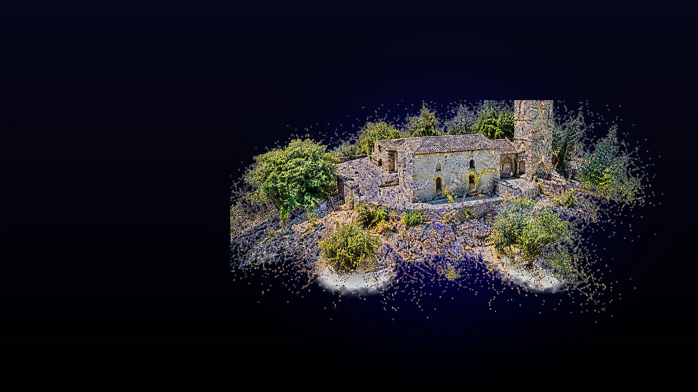
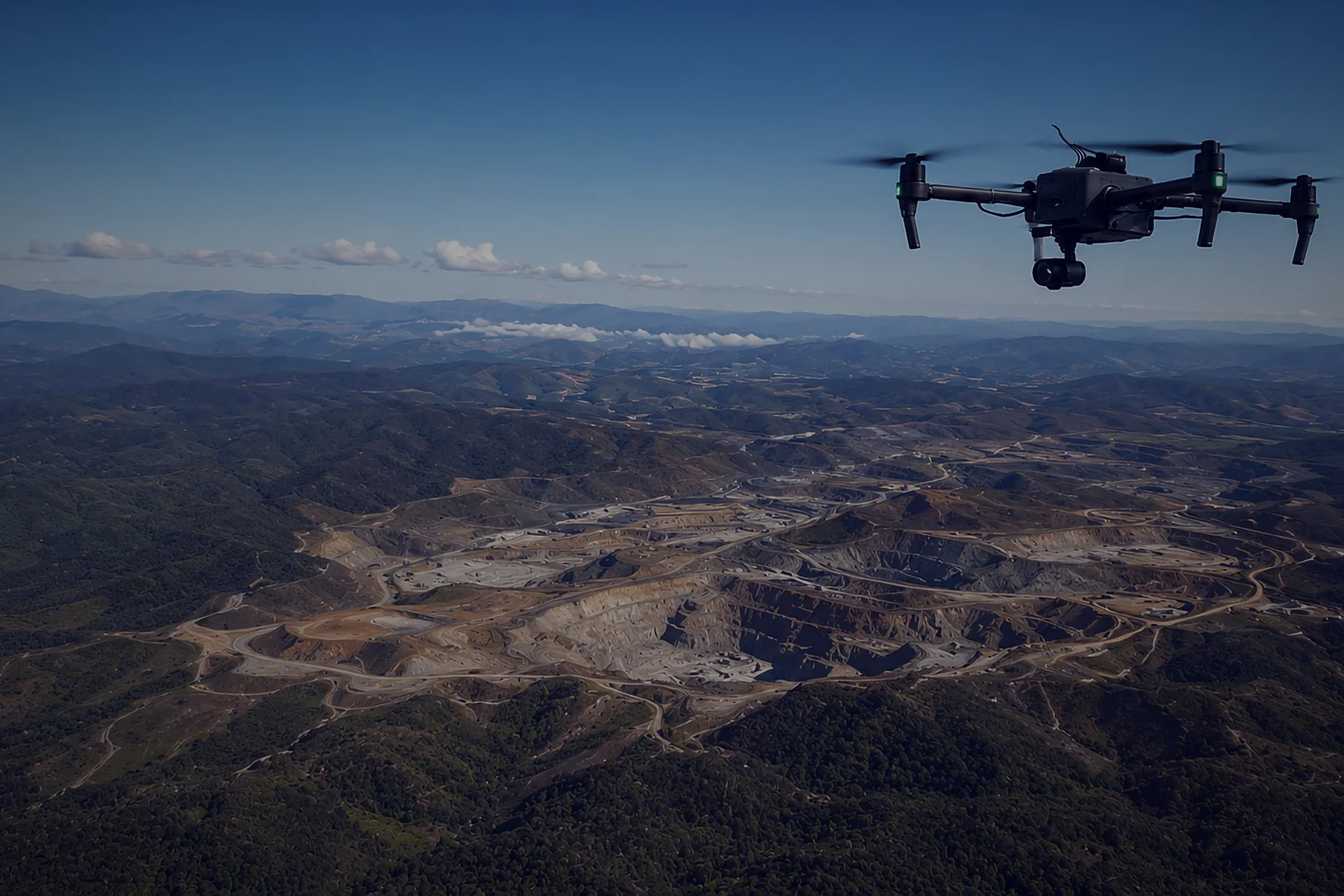
Price on requestAgisoft Metashape is professional photogrammetry software. It processes photos from drones, aircraft and handheld cameras into georeferenced orthomosaics, elevation models, point clouds and textured 3D models.
It handles everything from a single site survey to large mapping projects, and works with RGB, multispectral and thermal imagery as well as LiDAR data.
Georeferenced GeoTIFF for GIS, plus KML for Google Earth. Large projects export in blocks.
Digital surface and terrain models, with breaklines and editable fills.
Dense point clouds with editing tools and automatic classification.
Photorealistic textured meshes, including tiled models for large sites.
RGB, NIR, thermal and multispectral imagery, with NDVI and custom indices.
Aerial LiDAR support, laser scan alignment and ground classification.
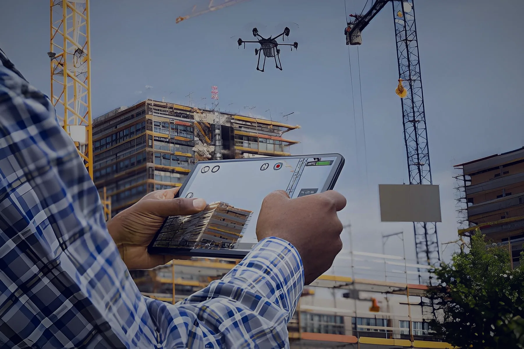
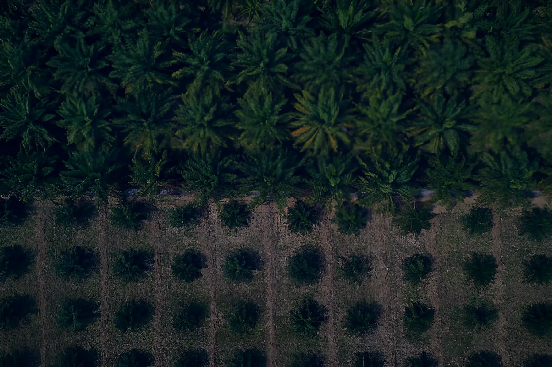
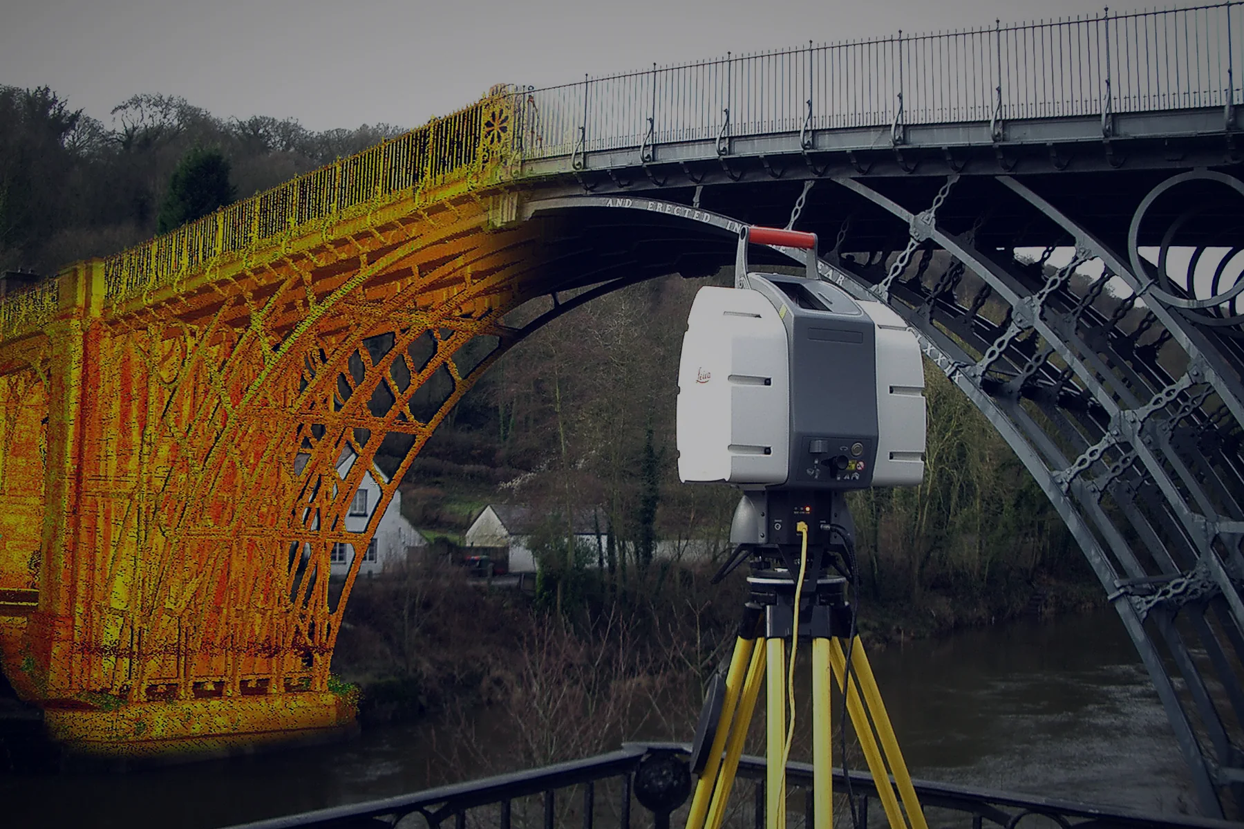
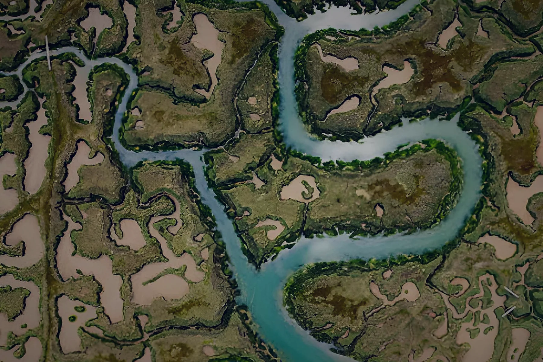
Standard is for 3D models and visual work. For surveying, mapping, mining, agriculture or any work that needs real-world coordinates, you need Professional.
| Standard | Professional | |
|---|---|---|
| Photo alignment and camera calibration | Yes | Yes |
| Dense point clouds | Yes | Yes |
| Textured 3D models | Yes | Yes |
| Panorama stitching | Yes | Yes |
| Georeferencing with GCPs and coded targets | — | Yes |
| Orthomosaics | — | Yes |
| Elevation models (DSM / DTM) | — | Yes |
| Multispectral, thermal and vegetation indices | — | Yes |
| LiDAR data support | — | Yes |
| Network processing | — | Yes |
| Python / Java scripting | — | Yes |
| Floating licence option | — | Yes |
Based on the Standard and Professional feature pages on agisoft.com.
Runs on one computer at a time. You can move it to another computer when needed.
Install on as many computers as you like. The number of licences sets how many run at the same time.
Full features at an educational price, for teaching and learning only.
Licences are for your own use and cannot be shared with third parties or used to run a hosted service.
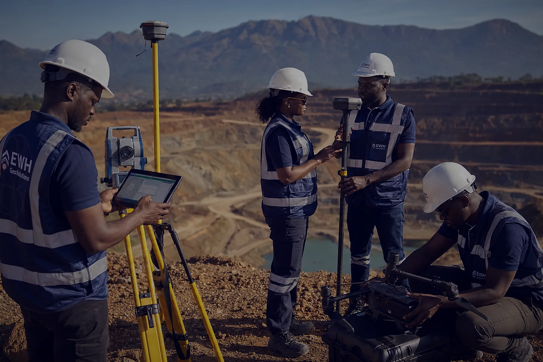
Metashape is the processing step in a complete workflow. We supply and support every part of it, so your data moves from field to final deliverable without gaps.
Hands-on courses for company staff and students, from first project to finished deliverable.
Photo alignment, camera calibration, dense clouds and 3D models
GCPs, coordinate systems, orthomosaics and DEMs
Multispectral and NDVI, LiDAR, classification and automation
Courses for lecturers and students, paired with educational licences
Setup, activation and technical help in your time zone.
Courses for teams and students, not just a licence.
Drones, RTK and software from one supplier.
See Metashape working on your own data before you buy.
Memory (RAM) usually limits how large a project you can process. A fast multi-core CPU (6+ cores, 3 GHz+) is recommended. Not sure about your PC? Send us the specs and we'll check.
For surveying, mapping, mining, agriculture or any work with real-world coordinates, choose Professional. Standard suits 3D models and visual work.
Yes. We can arrange a demo, and Agisoft offers a 30-day trial of Metashape Professional. Contact us to get started.
Yes, for accredited universities, polytechnics, colleges and technical schools, and their students and staff. Educational licences are for non-commercial use only.
Yes. Metashape processes photos from DJI and other drones, including RTK-tagged images and multispectral data such as from the Mavic 3M.
No. Desktop licences are perpetual, with 12 months of email support from Agisoft and free updates within version 2.x.
A PC with 16–32 GB RAM, a 4–12 core CPU and an NVIDIA or AMD graphics card handles most projects. Larger projects need more memory. See the system requirements above.
Not sure what you need? Tell us about your project and we'll reply within one working day with pricing, delivery time and the right kit.