Survey & Mapping
- Topographic surveys
- Cadastral and estate mapping
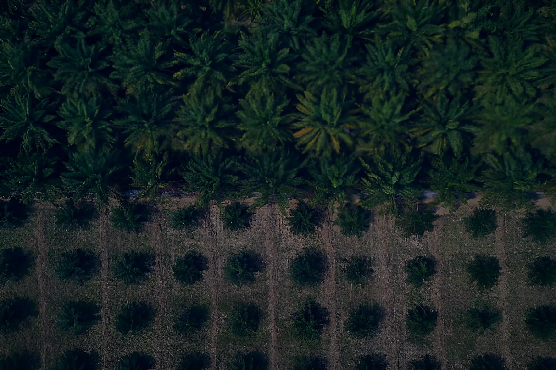
- Orthophotos and DEMs
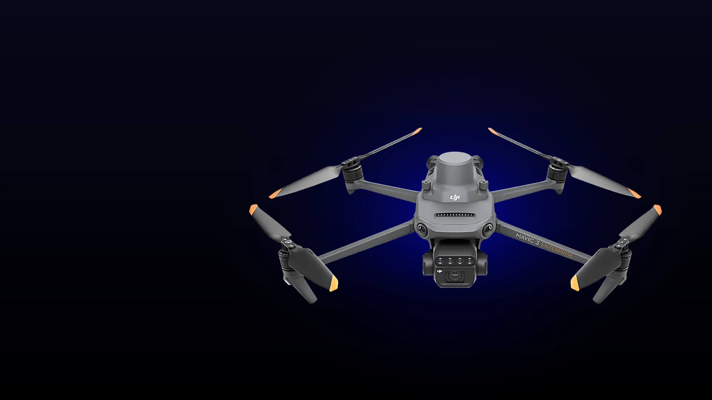
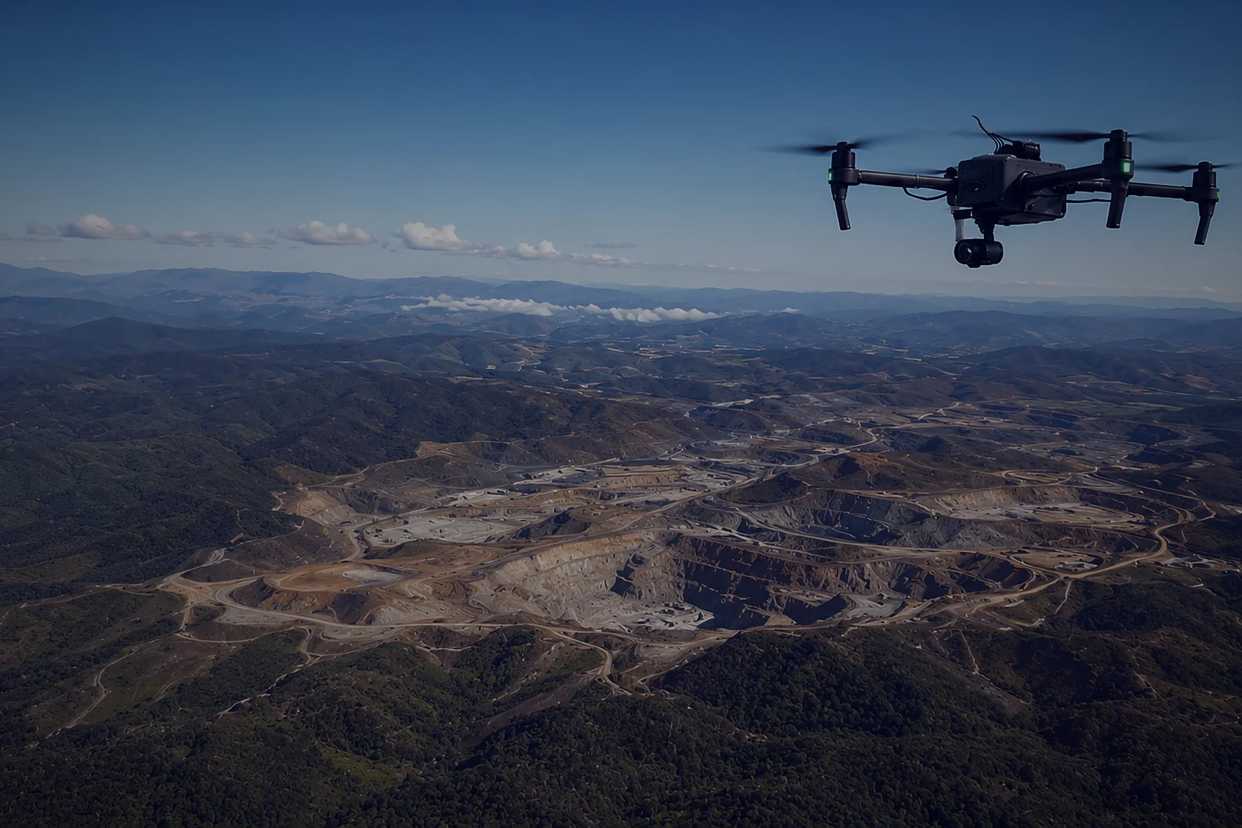
A proven, cost-effective mapping drone for surveyors starting out with drone mapping. It has a 4/3 mechanical-shutter camera for accurate maps and models, and folds small enough to carry anywhere.
Price on request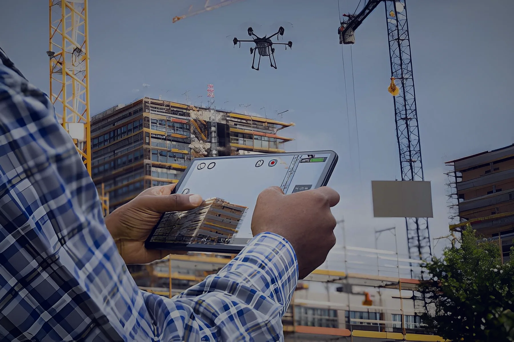

| Wide (mapping) camera | 4/3" CMOS, 20 MP, mechanical shutter |
|---|---|
| Minimum photo interval | 0.7 s |
| Telephoto | 12 MP, 162 mm eq., 56× hybrid zoom |
| RTK accuracy (fix) | 1 cm + 1 ppm H / 1.5 cm + 1 ppm V (with RTK module) |
| Max flight / hover time | 45 min / 38 min (no wind) |
| Max speed | 21 m/s |
| Wind resistance | 12 m/s |
| Takeoff weight | 1,050 g max |
| Operating temperature | −10 °C to 40 °C |
| Video transmission | Up to 8 km (CE) / 15 km (FCC) |
| Battery | 5,000 mAh, 77 Wh |
| Controller | DJI RC Pro Enterprise, 5.5" 1,000-nit screen |
RTK module available separately.
Commercial drone operators need training and licensing. We guide you through the process, from training to certification.
Request licensing supportEverything a survey team needs, from flight to finished deliverable, set up and supported by us.
Aircraft, controller and spare batteries
12 months of full RTK subscription, free
Learn moreOrthomosaics, DEMs, contours and CAD output
Learn moreFrom flight planning, data capture, processing and analysis to final deliverable
Ask about training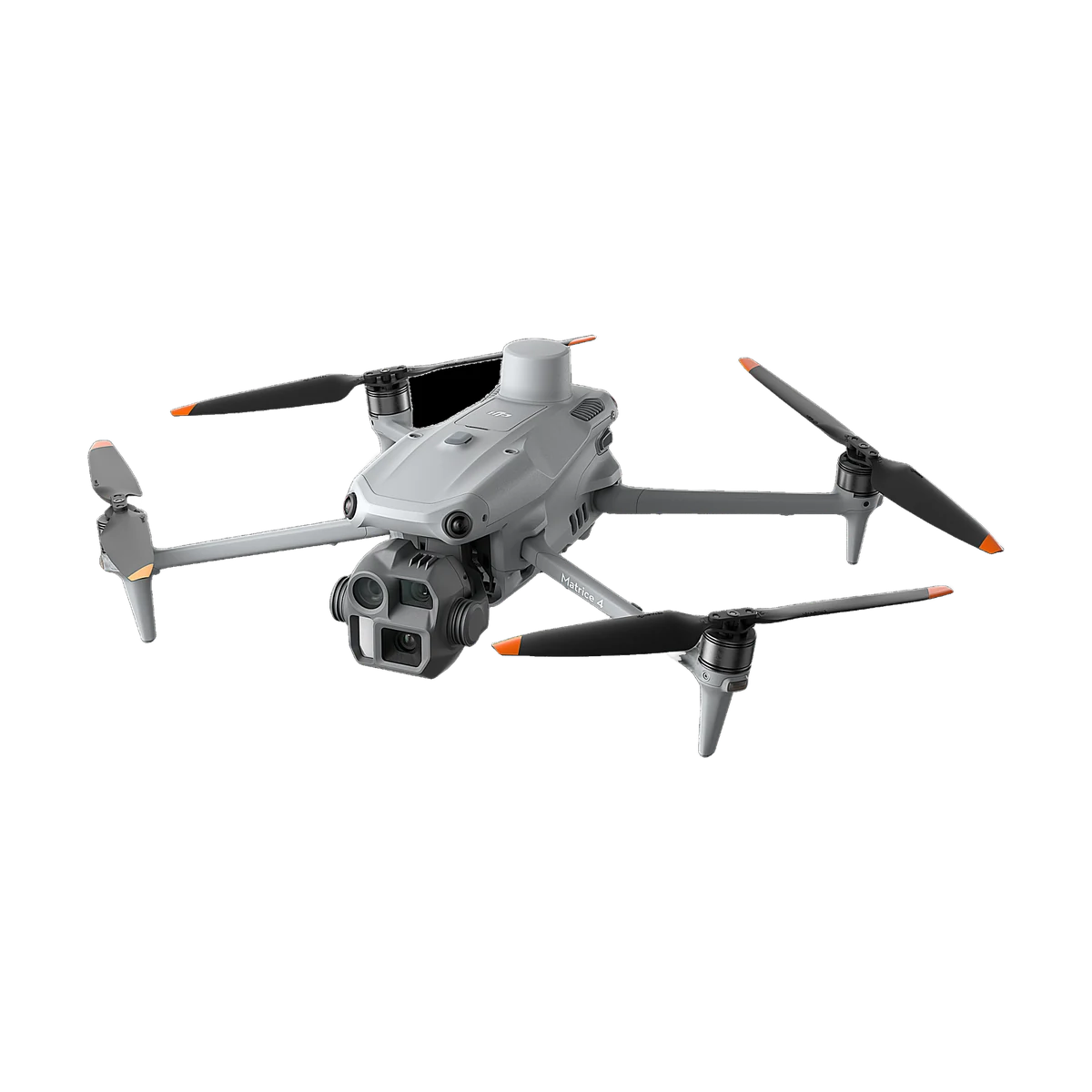 Survey & Mapping
A compact mapping drone for surveyors, construction teams and mining sites.
Not sure what you need? Tell us about your project and we'll reply within one working day with pricing, delivery time and the right kit.