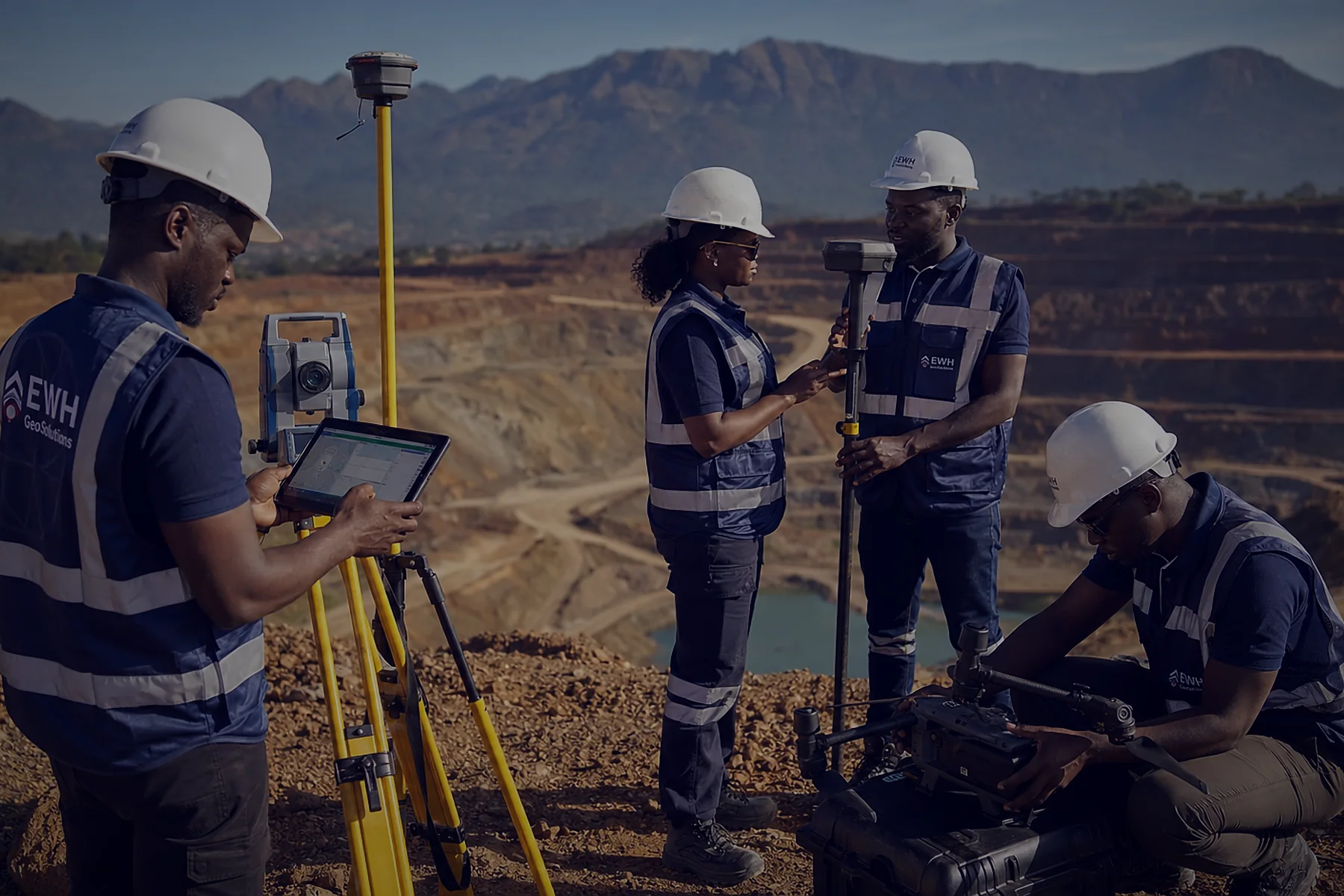
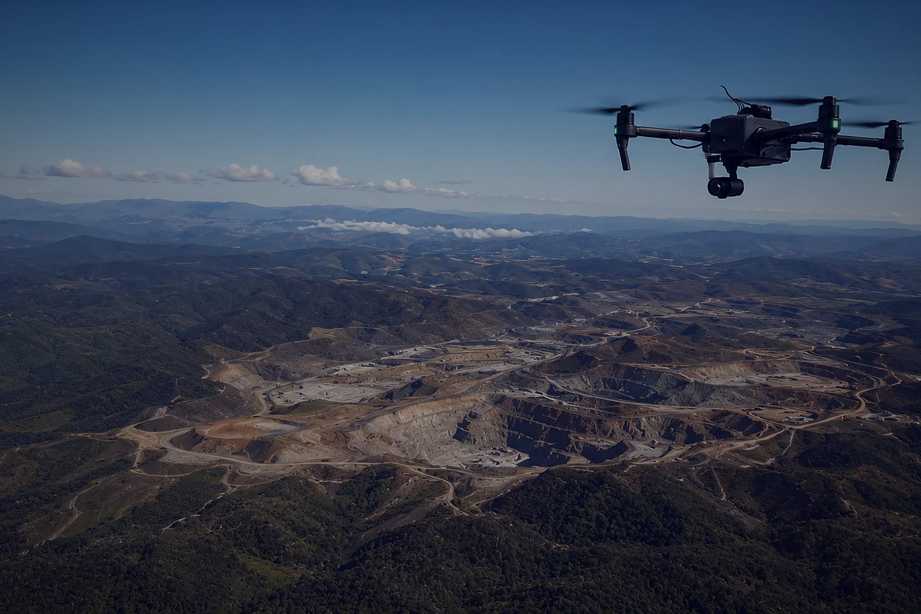
Survey & Mapping
- LiDAR surveys under vegetation
- Large-area photogrammetry
- High-accuracy DTMs
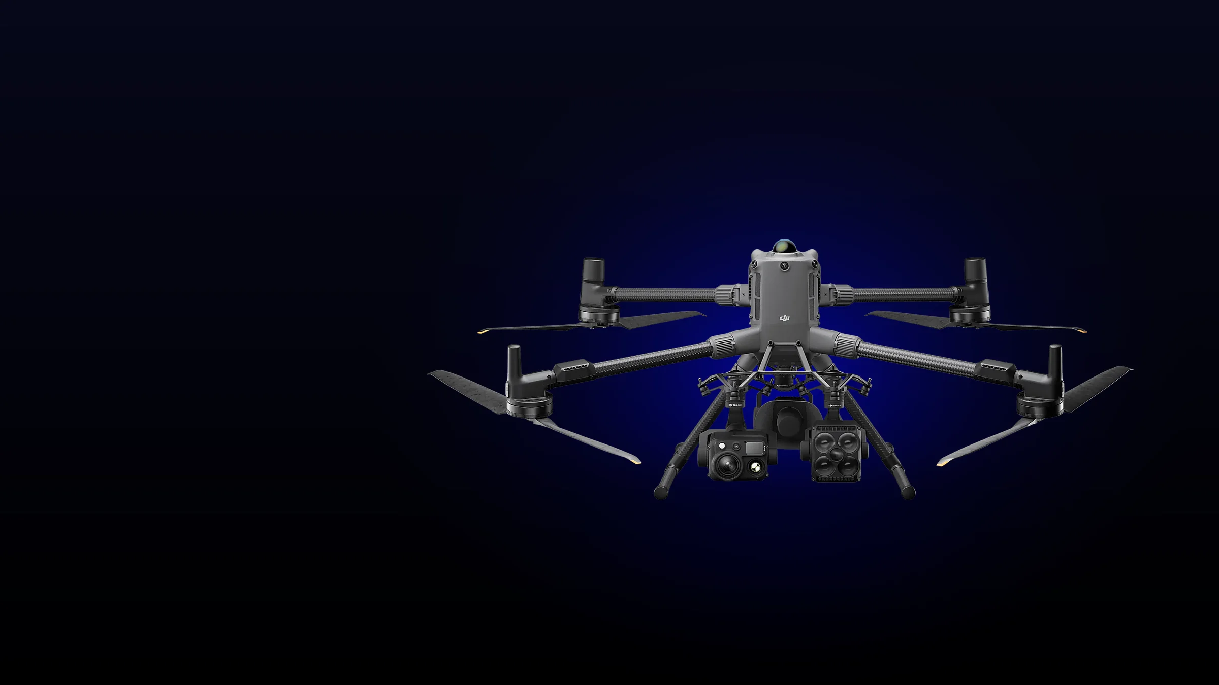
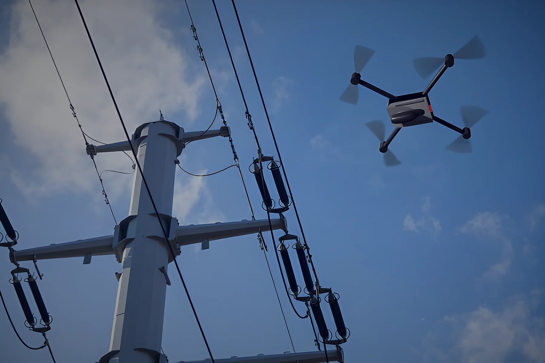
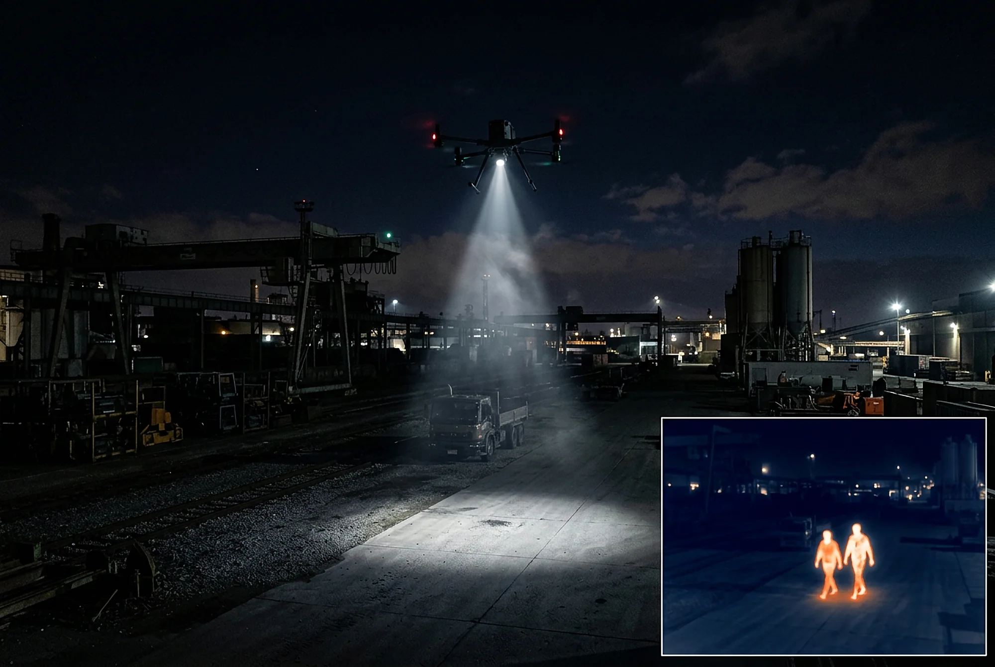
DJI's flagship platform for heavy professional payloads. Carry LiDAR, full-frame mapping cameras or zoom and thermal sensors for up to 59 minutes, with obstacle sensing that sees power lines.
Price on request
| Compatible payloads | Zenmuse L3, L2, P1, H30, H30T; Zenmuse S1 spotlight, V1 speaker |
|---|---|
| Max payload | 6 kg |
| Takeoff weight | 9.74 kg with battery; 15.8 kg max |
| Max flight / hover time | 59 min / 53 min (with H30T, no wind) |
| Max speed | 25 m/s |
| Wind resistance | 12 m/s |
| Rating / temperature | IP55, −20 °C to 50 °C |
| RTK accuracy (fix) | 1 cm + 1 ppm H / 1.5 cm + 1 ppm V |
| Obstacle sensing | Rotating LiDAR, mmWave radar, omnidirectional vision |
| Video transmission | O4 Enterprise Enhanced, up to 20 km (CE) / 40 km (FCC) |
| Battery | TB100, 977 Wh, 400 cycles, self-heating |
| Charging | BS100 station, 0–100% in 45 min (fast mode, 220 V) |
| Safety | Optional AP100 parachute |
Payloads sold separately.
Commercial drone operators need training and licensing. We guide you through the process, from training to certification.
Request licensing supportEverything a survey team needs for LiDAR and large-area mapping, from flight to finished deliverable, set up and supported by us.
Or Zenmuse L2 / P1, with controller and spare batteries
12 months of full RTK subscription, free
Learn morePoint clouds, DTMs, contours and CAD output
Learn moreFrom flight planning, LiDAR and image capture, processing and analysis to final deliverable
Ask about training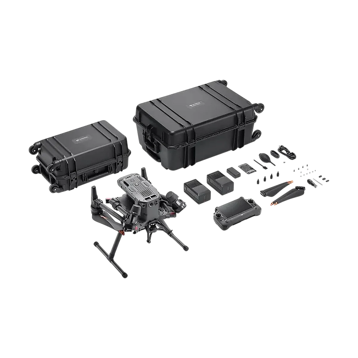 Heavy-Lift Platform
A proven multi-payload workhorse for survey, inspection and public-safety teams.
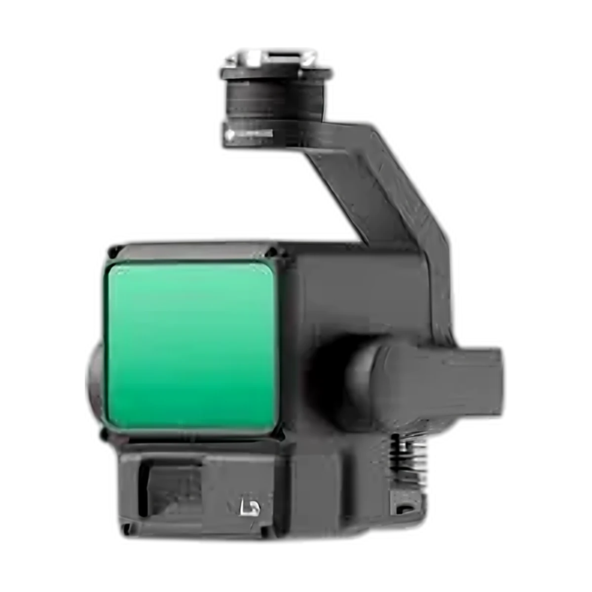 LiDAR
Proven LiDAR for topographic, corridor and forestry surveys.
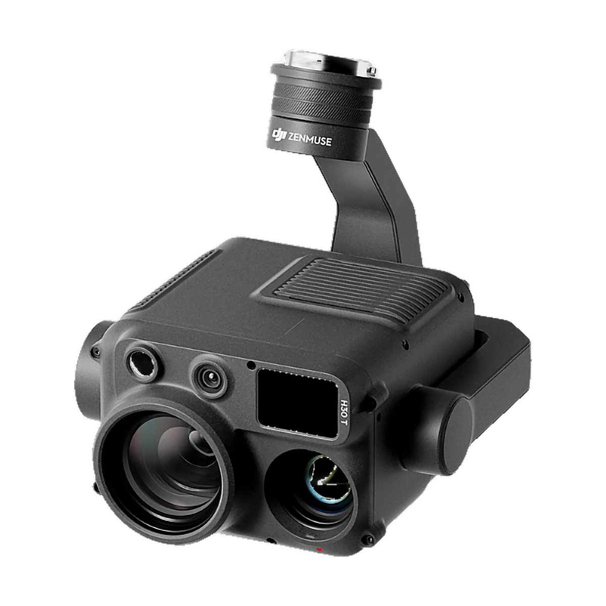 Zoom & thermal
All-in-one zoom, thermal and laser rangefinder for day and night missions.
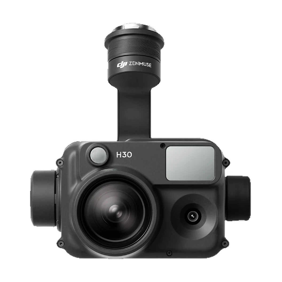 Zoom & thermal
Zoom and wide camera with laser rangefinder, without thermal.
Not sure what you need? Tell us about your project and we'll reply within one working day with pricing, delivery time and the right kit.
Proven LiDAR for topographic, corridor and forestry surveys.
All-in-one zoom, thermal and laser rangefinder for day and night missions.
Zoom and wide camera with laser rangefinder, without thermal.