
 XGRIDS
XGRIDS Reseller in Nigeria
XGRIDS Laser Scanners
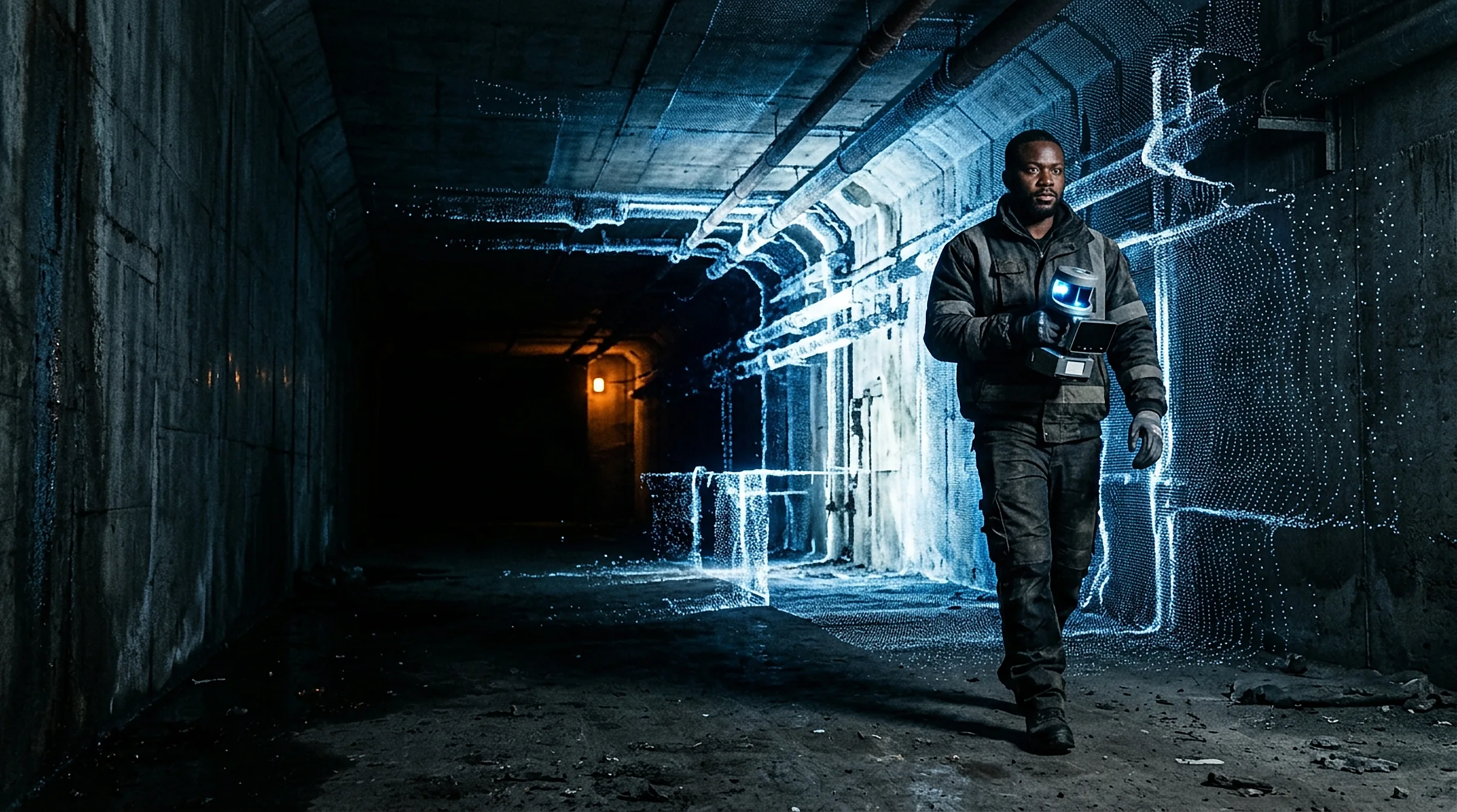
Handheld SLAM scanners that capture colourised 3D point clouds and 3DGS as you walk indoors, outdoors and underground. Choose the right model for your work, from precision surveying and BIM to photorealistic virtual tours.
EWH GeoSolutions resells XGRIDS laser scanners in Nigeria, with setup, training and local support.
- Models to choose from
- 4
- Best relative accuracy (L3)
- 5 mm
- Points per second (L3, L2 Pro)
- 640,000
- No tripod setups
- Walk & scan
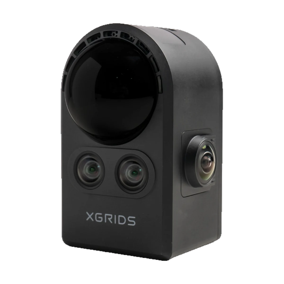
The XGRIDS range
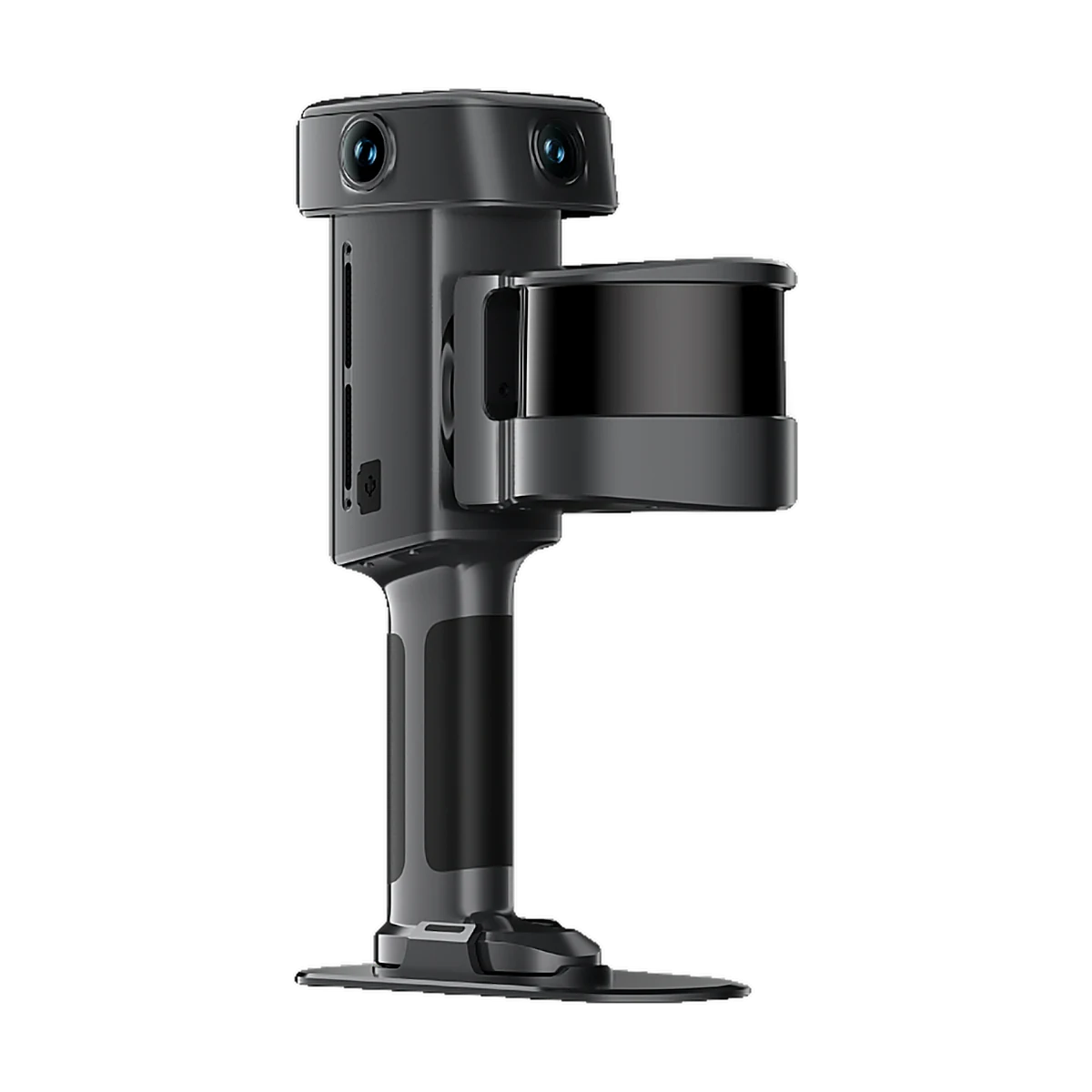
XGRIDS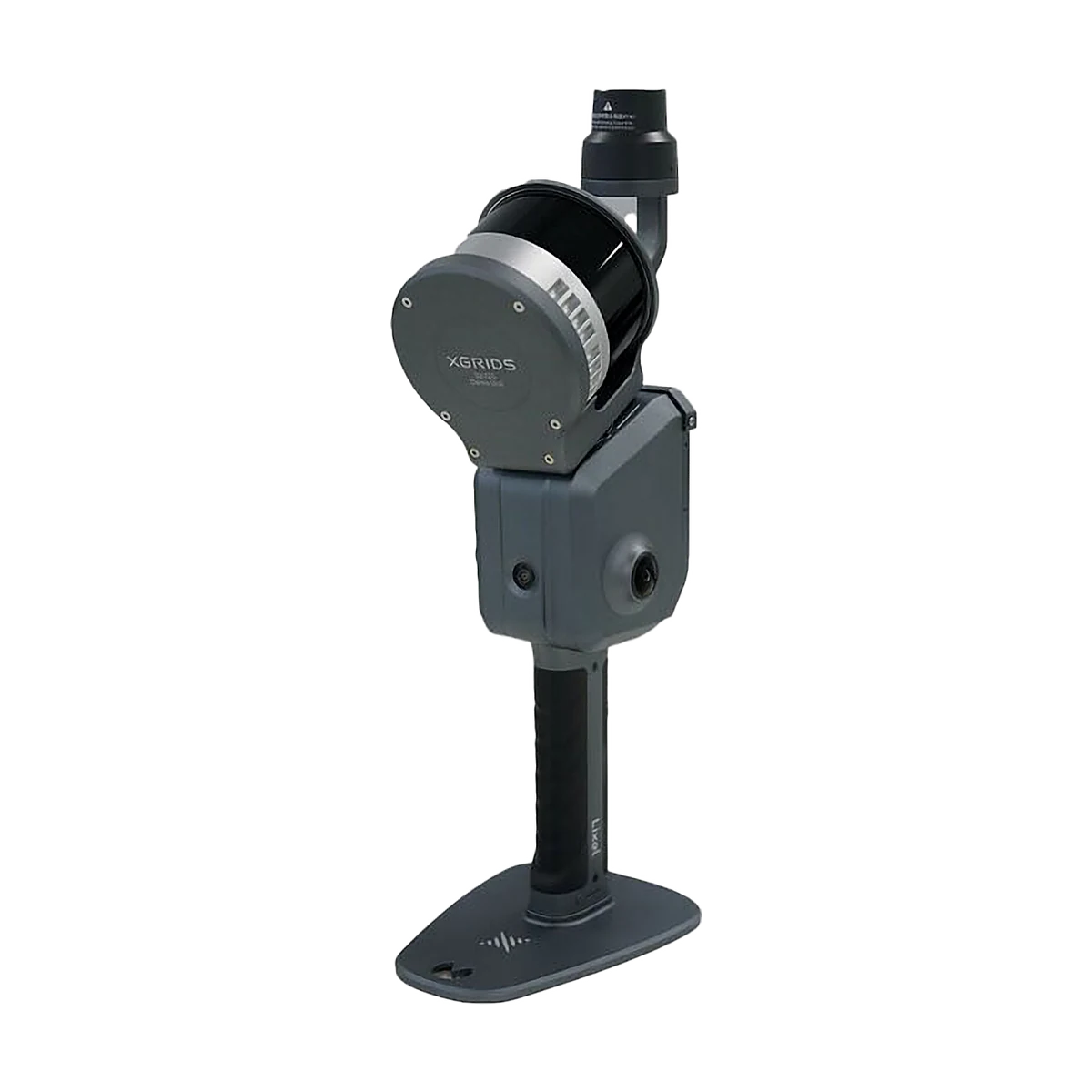 XGRIDS
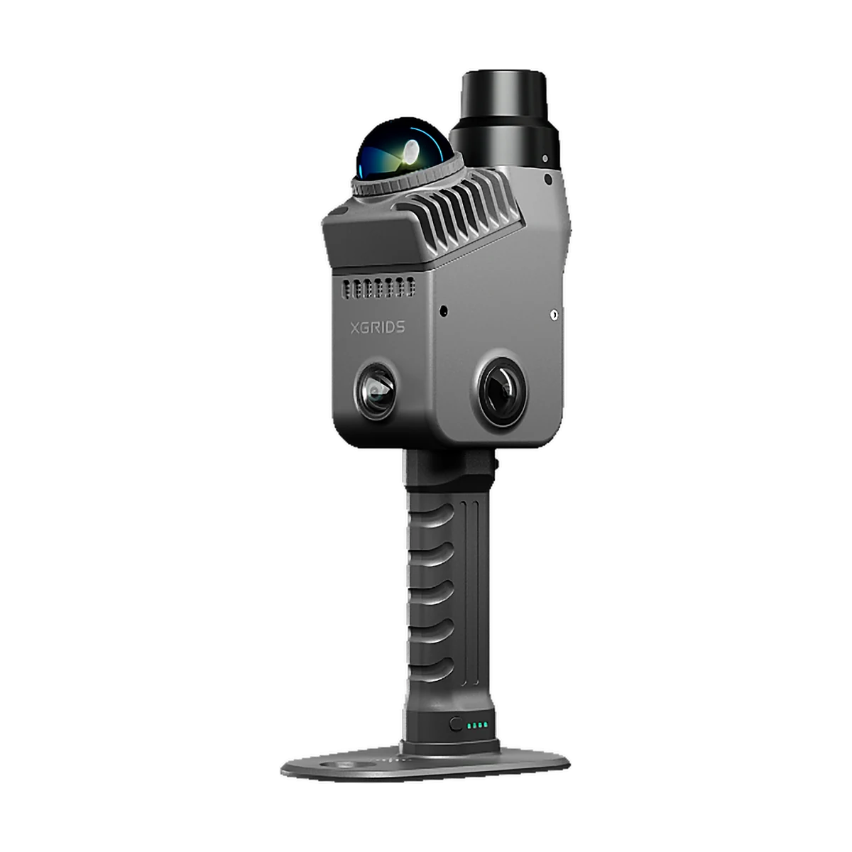 XGRIDS
 XGRIDS
Lixel L3
Flagship for precision surveying and BIM.
- 5 mm relative accuracy
- 120 m range, up to 640,000 pts/s
- 3 × 50 MP cameras, built-in RTK
XGRIDS
Lixel L2 Pro
Long-range scanning for large sites and backpack mapping.
- Up to 300 m range (32-ch)
- Up to 640,000 pts/s
- 2 × 48 MP panoramic cameras
XGRIDS
Lixel K2
Lightweight everyday scanner for small to medium sites.
- Only 1.2 kg with battery
- 1 cm relative accuracy
- 200,000 pts/s, built-in RTK
XGRIDS
PortalCam
Photorealistic 3D scenes for virtual tours and media.
- 3D Gaussian splat output
- 4 × 12 MP cameras
- 870 g, not survey-grade
Applications
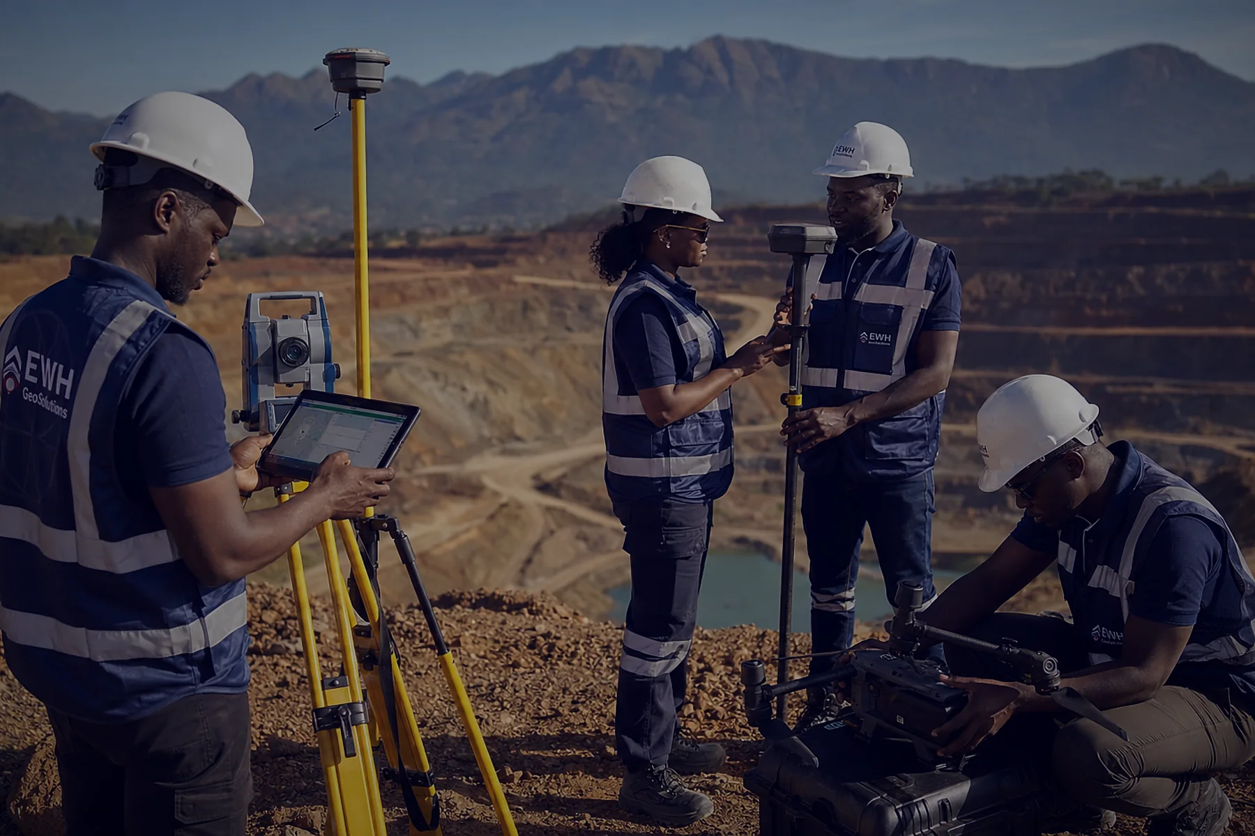
Survey & Mapping
- Topographic and as-built surveys
- Georeferenced point clouds
- Large sites with L2 Pro

AEC & BIM
- Scan-to-BIM
- Construction progress checks
- Renovation and fit-out
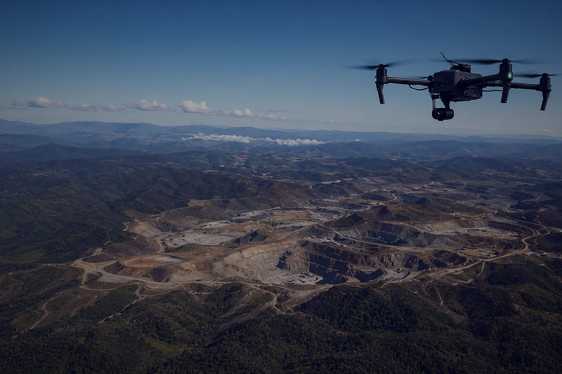
Mining & Tunnels
- Underground and GNSS-denied areas
- Stockpile volumes
- Tunnel profiles

Industrial Facilities
- Plants and refineries
- Pipework and equipment
- Digital twins
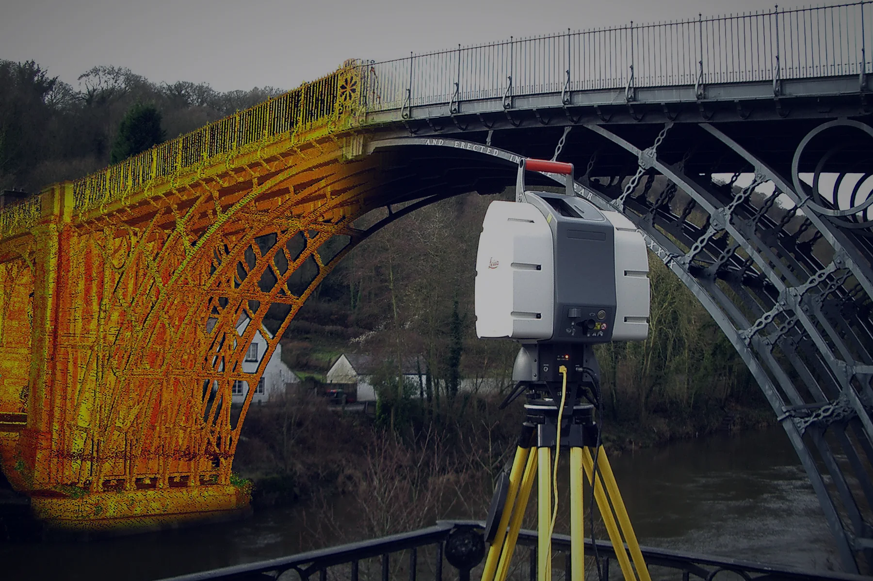
Real Estate & Tours
- Floor plans and measurements
- Photoreal virtual tours (PortalCam)
- Property marketing
Heritage
- Monuments and historic buildings
- Interior documentation
- 3D models for restoration
Compare models
| Lixel L3 | Lixel L2 Pro | Lixel K2 | PortalCam | |
|---|---|---|---|---|
| Best for | Precision survey & BIM | Large sites, long range | Everyday capture | Virtual tours & media |
| Range | 120 m | 120 m / 300 m (32-ch) | 100 m | 30 m |
| Point rate | 320k / 640k pts/s | 320k / 640k pts/s | 200k pts/s | 856k pts/s |
| Relative accuracy | 5 mm | 1 cm | 1 cm | Not survey-grade |
| Absolute accuracy | 2 cm | 3 cm | 3 cm | — |
| Cameras | 3 × 50 MP | 2 × 48 MP panoramic | 3 × 12 MP | 4 × 12 MP |
| Weight | 2.5 kg with battery | 1.7 kg without battery | 1.2 kg with battery | 870 g |
| Operating time | 100 min | 1.5 h | 1.5 h | — |
| Storage | 1 TB | 1 TB | 512 GB | — |
| Rating | IP54 | IP54 | IP54 | — |
What's in the box
Included
Each scanner comes with batteries, a charger, a carrying case and a software licence. Contents vary by model and package. Ask us for the exact list.
Support from EWH
- Setup and activation of the scanner
- Training
- After-sales service
- Technical help by phone and WhatsApp
Complete workflow
EWH Scanning Kit
Everything a survey team needs for laser scanning, from capture to finished deliverable, set up and supported by us.
- 01 · Capture
XGRIDS scanner
Lixel L3, L2 Pro or K2 with spare batteries
- 02 · Position
GEODNET RTK
12 months of full RTK subscription, free
Learn more - 03 · Process
LixelStudio + Virtual Surveyor
Point clouds, meshes, 3D models and CAD output
Learn more - 04 · Train
Hands-on training
From scan planning and capture to processing, analysis and final deliverable
Ask about training
Price on request
Get a quote
Not sure what you need? Tell us about your project and we'll reply within one working day with pricing, delivery time and the right kit.