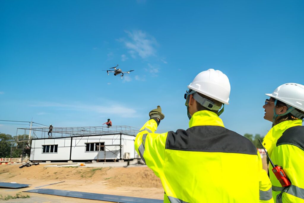
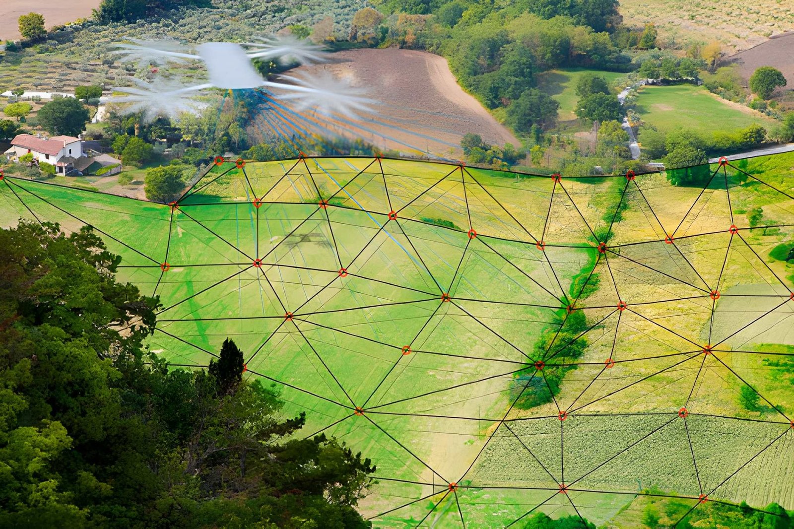
Capturing high-resolution aerial data to create accurate maps for planning, surveying, construction, and infrastructure development projects.
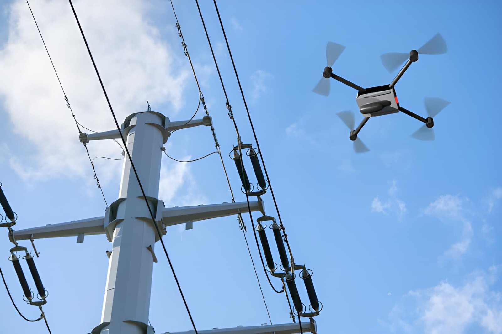
Providing real-time aerial monitoring to improve security, site management, and operational decision-making efficiency safely.
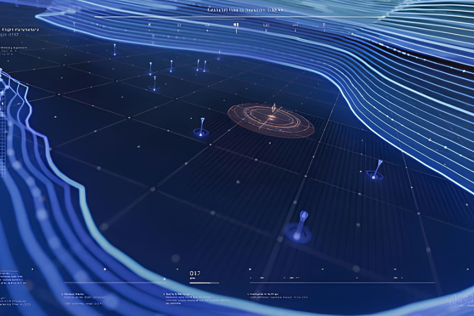
Using advanced LiDAR and laser scanning technology to capture precise elevation data and create highly accurate three-dimensional models.